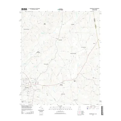
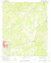
2014 Map of Roanoke East
USGS Topo · Published 2014About this map
Roanoke serves as the primary hub in this eastern Alabama landscape, where the town's grid meets the surrounding rural character of Randolph County. The topography is defined by the drainages of High Pine Creek and Wehadkee Creek, with High Shoals Falls marking a notable break in the terrain to the north. A network of rural crossroads settlements, including White Crossroads, Taylors Crossroads, and Moores Crossroads, illustrates the historical distribution of farming communities across the ridge and valley system. Genealogy researchers will find significant value in the numerous documented burial sites such as Old Salem Primitive Baptist Church Cem and Booger Hill Cem. The map also captures the Roanoke Municipal Airport and the eastern boundary where Alabama meets Georgia at Paran, showing how state lines intersect with local land use and infrastructure.
Find a feature on this map
121 named features on this map. Tap any name to fly to it.
Don’t see what you’re looking for? This feature index may not catch every label — zoom into the map to look around manually.
Map Details
Editions of this 2014 Roanoke East Map
This is the sole edition of this map. No revisions or reprints were ever made.
Other maps of this area

1899 · Wedowee
USGS Topo · 1:125,000

1902 · Wedowee
USGS Topo · 1:125,000

1953 · Atlanta
USGS Topo · 1:250,000

1957 · Atlanta
USGS Topo · 1:250,000

1958 · Atlanta
USGS Topo · 1:250,000
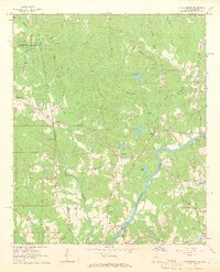
1964 · Abbottsford
USGS Topo · 1:24,000

1964 · Glenn
USGS Topo · 1:24,000
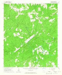
1964 · Frolona
USGS Topo · 1:24,000
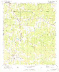
1968 · Five Points
USGS Topo · 1:24,000
1969 · Roanoke East
USGS Topo · 1:24,000