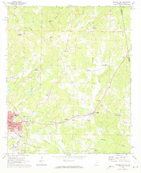
1969 Map of Roanoke East
USGS Topo · Published 1973About this map
Wehadkee Creek and its tributaries carve a path through the eastern reaches of Randolph County just before the Alabama-Georgia border. The area is defined by a series of prominent crossroads settlements like Taylors Crossroads, Lee Crossroads, and Moores Crossroads, which historically served as local hubs for the surrounding farming community. In the southwestern corner, the city of Roanoke serves as the regional center, showing a concentrated street grid that includes Government St and the College Library. The landscape is dotted with rural institutions, including numerous churches such as Welcome Home Ch and Lebanon Ch, alongside specialized education centers like the County Training Sch. Transportation and industry are anchored by the meeting of the Central of Georgia and Seaboard Coast Line railroads, while smaller local landmarks like High Shoals Falls and Rock Mills highlight the era's reliance on the local waterways and mill-town heritage.
Find a feature on this map
55 named features on this map. Tap any name to fly to it.
Don’t see what you’re looking for? This feature index may not catch every label — zoom into the map to look around manually.
Map Details
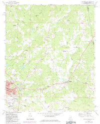
Editions of this 1969 Roanoke East Map
2 editions found
Other maps of this area

1899 · Wedowee
USGS Topo · 1:125,000

1902 · Wedowee
USGS Topo · 1:125,000

1953 · Atlanta
USGS Topo · 1:250,000

1957 · Atlanta
USGS Topo · 1:250,000

1958 · Atlanta
USGS Topo · 1:250,000
1964 · Abbottsford
USGS Topo · 1:24,000

1964 · Glenn
USGS Topo · 1:24,000
1964 · Frolona
USGS Topo · 1:24,000
1968 · Five Points
USGS Topo · 1:24,000
1969 · Napoleon
USGS Topo · 1:24,000