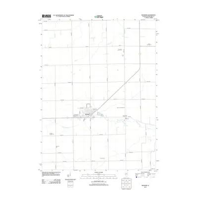
2012 Map of Roanoke
USGS Topo · Published 2012About this map
Roanoke serves as the central hub of this Woodford County landscape, where the residential grid meets a vast network of agricultural section roads and small drainage systems like Snake Cr and W Br Panther Cr. The area is notably dense with burial sites reflecting the local heritage, including the Roanke Cem near the town center and several denominational landmarks such as the Apostolic Christian Cem and the Mennonite Cem further south. A diagonal corridor cuts across the township, passing near the Scherer Landing Strip and connecting the town to the surrounding countryside. Agricultural operations like Pineline Farms are established along the southern periphery, while more remote sites like Clayton Township Cem and Saint Peter Lutheran Cem mark the northern reaches of the quadrangle, illustrating the enduring pattern of rural settlement and community identity in central Illinois.
Find a feature on this map
46 named features on this map. Tap any name to fly to it.
Don’t see what you’re looking for? This feature index may not catch every label — zoom into the map to look around manually.
Map Details
Editions of this 2012 Roanoke Map
This is the sole edition of this map. No revisions or reprints were ever made.
Other maps of this area

1893 · Metamora
USGS Topo · 1:62,500

1927 · Danvers
USGS Topo · 1:62,500

1928 · Mackinaw
USGS Topo · 1:62,500

1930 · Danvers
USGS Topo · 1:62,500

1932 · Mackinaw
USGS Topo · 1:62,500

1937 · Metamora
USGS Topo · 1:62,500

1948 · Metamora
USGS Topo · 1:62,500

1955 · Minonk
USGS Topo · 1:62,500

1958 · Peoria
USGS Topo · 1:250,000

1961 · Peoria
USGS Topo · 1:250,000