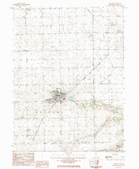
1983 Map of Roanoke
USGS Topo · Published 1984About this map
The village of Roanoke serves as the focal point for this Woodford County study, positioned at the junction of the Atchison Topeka And Santa Fe railroad and the West Branch Panther Creek. The map documents a community deeply rooted in its religious and civic institutions, featuring several denominational landmarks such as the Mennonite Ch, Brethren Ch, and St Peters Ch. A notable industrial remnant, the Mine Dump just east of the village center, signifies the area's coal mining history which shaped the local economy and settlement pattern.
Find a feature on this map
32 named features on this map. Tap any name to fly to it.
Don’t see what you’re looking for? This feature index may not catch every label — zoom into the map to look around manually.
Map Details
Editions of this 1983 Roanoke Map
This is the sole edition of this map. No revisions or reprints were ever made.
Other maps of this area

1893 · Metamora
USGS Topo · 1:62,500

1927 · Danvers
USGS Topo · 1:62,500

1928 · Mackinaw
USGS Topo · 1:62,500

1930 · Danvers
USGS Topo · 1:62,500

1932 · Mackinaw
USGS Topo · 1:62,500

1937 · Metamora
USGS Topo · 1:62,500

1948 · Metamora
USGS Topo · 1:62,500

1955 · Minonk
USGS Topo · 1:62,500

1958 · Peoria
USGS Topo · 1:250,000

1961 · Peoria
USGS Topo · 1:250,000