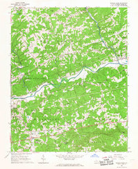
1966 Map of Roaring River
USGS Topo · Published 1968About this map
The Yadkin River and the Southern Railway corridor define the industrial and transit heart of this Wilkes County landscape in the mid-1960s. While North Wilkesboro anchors the western edge, the map reveals a dense network of rural communities such as Dellaplane, Call, and Mathis, each tied together by dozens of local landmarks. A notable concentration of spiritual and civic centers, including Orange Chapel and Fishing Creek Arbor Ch, speaks to the deeply established social fabric of the Piedmont foothills during this era.
Find a feature on this map
60 named features on this map. Tap any name to fly to it.
Don’t see what you’re looking for? This feature index may not catch every label — zoom into the map to look around manually.
Map Details
Editions of this 1966 Roaring River Map
This is the sole edition of this map. No revisions or reprints were ever made.
Other maps of this area

1889 · Wilkesboro
USGS Topo · 1:125,000

1891 · Wilkesboro
USGS Topo · 1:125,000
1891 · Yadkinville
USGS Topo · 1:125,000
1893 · Yadkinville
USGS Topo · 1:125,000

1953 · Winston-Salem
USGS Topo · 1:250,000

1955 · Winston-Salem
USGS Topo · 1:250,000
1962 · Winston-Salem
USGS Topo · 1:250,000
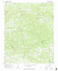
1966 · Gilreath
USGS Topo · 1:24,000
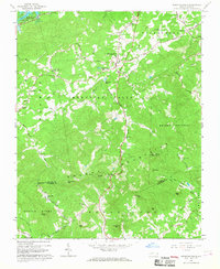
1966 · Moravian Falls
USGS Topo · 1:24,000
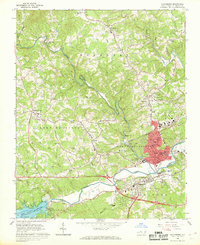
1966 · Wilkesboro
USGS Topo · 1:24,000