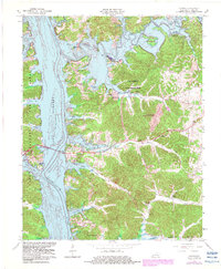
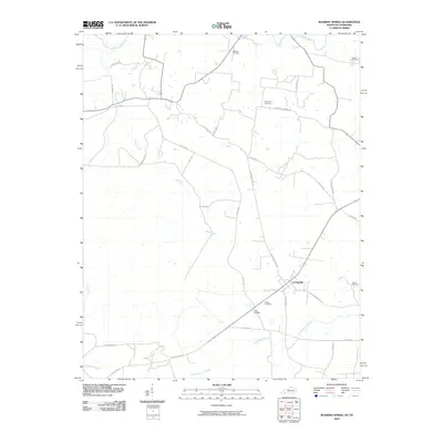
1957 Map of Roaring Spring
USGS Topo · Published 1976About this map
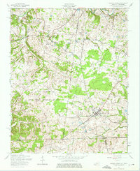
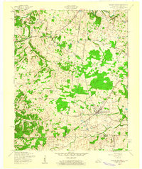
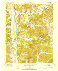
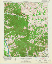
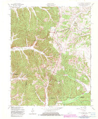
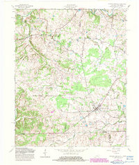
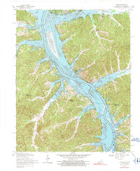
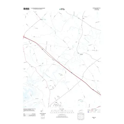
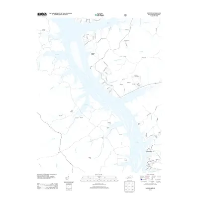
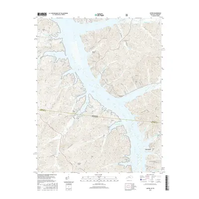
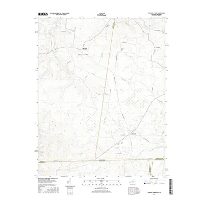
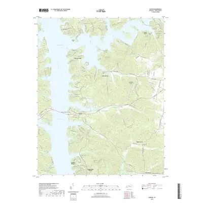
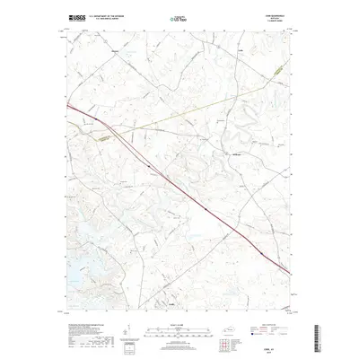
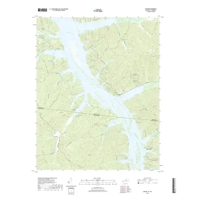
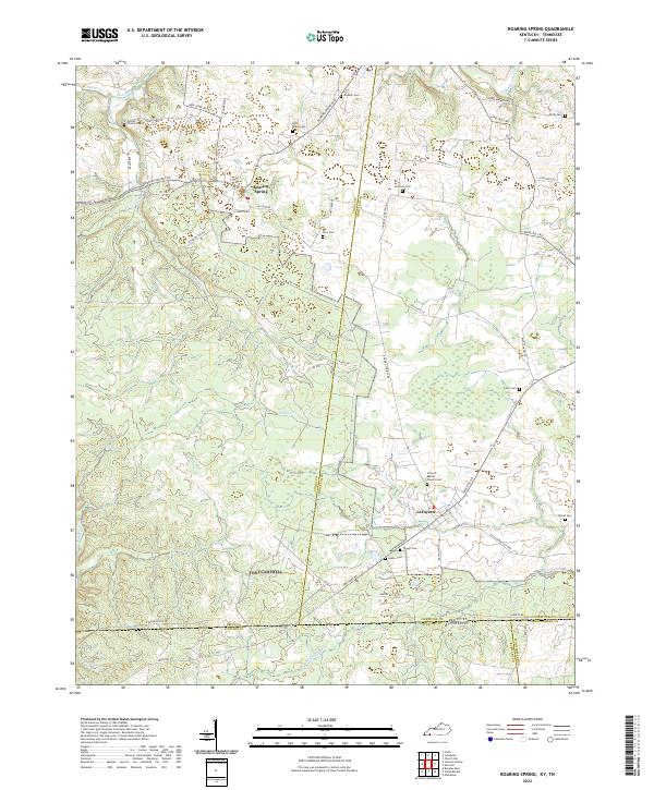
Roaring Spring and the surrounding borderlands of Trigg and Christian Counties appear in this mid-century survey as a region defined by agricultural traditions and a growing military presence. The southern half of the map is dominated by the Fort Campbell Military Reservation, which spans the state line between Kentucky and Tennessee. This federal footprint contrasts with the older settlement patterns of La Fayette, where a concentration of dwellings and businesses lines the Lafayette Road. Local landmarks such as the Antioch Ch and various scattered cemeteries provide anchor points for genealogists and local historians. The landscape is carved by water, with the Little River winding across the northern section and smaller tributaries like Skinner Cr and Noah's Creek draining the southern hills. An Airfield located near the state boundary points to the active aviation requirements of the military installation during the 1950s.
Find a feature on this map
17 named features on this map. Tap any name to fly to it.
Don’t see what you’re looking for? This feature index may not catch every label — zoom into the map to look around manually.
Map Details
Editions of this 1957 Roaring Spring Map
3 editions found
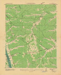
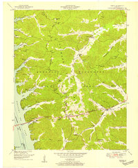
Historical Maps of Roaring Spring Through Time
59 maps found
1936 Fenton
Trigg County, KY

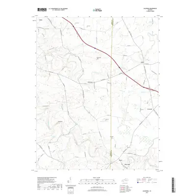
1950 Caledonia
Trigg County, KY
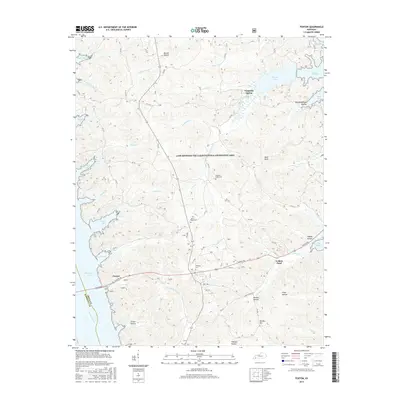
1950 Fenton
Trigg County, KY

1951 Caledonia
Trigg County, KY

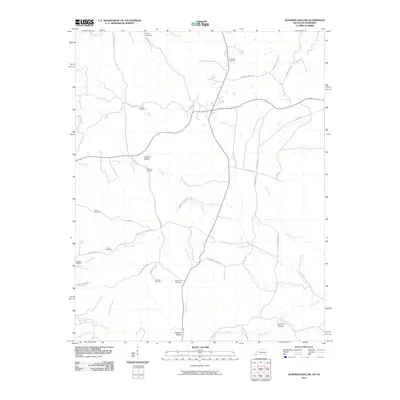
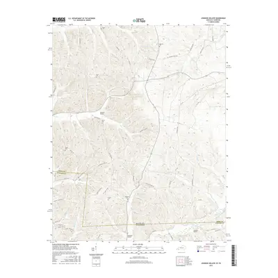
1951 Johnson Hollow
Trigg County, KY

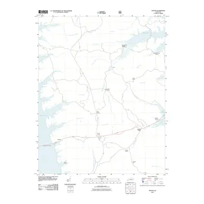
1951 Model
Trigg County, KY

1951 Roaring Spring
Trigg County, KY
1953 Canton
Trigg County, KY

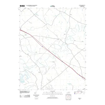
1953 Cobb
Trigg County, KY
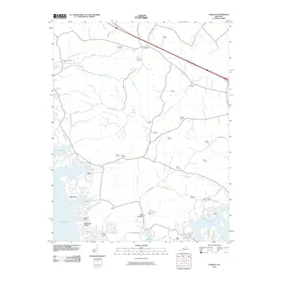
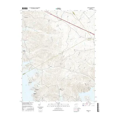
1953 Lamasco
Trigg County, KY
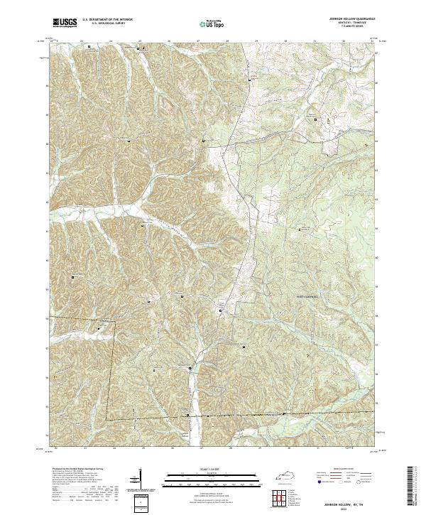
1957 Johnson Hollow
Trigg County, KY

1957 Model
Trigg County, KY
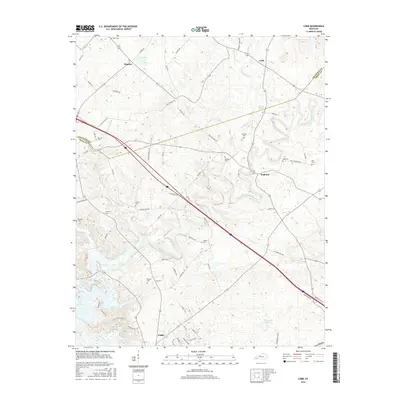
1957 Roaring Spring
Trigg County, KY
1967 Canton
Trigg County, KY
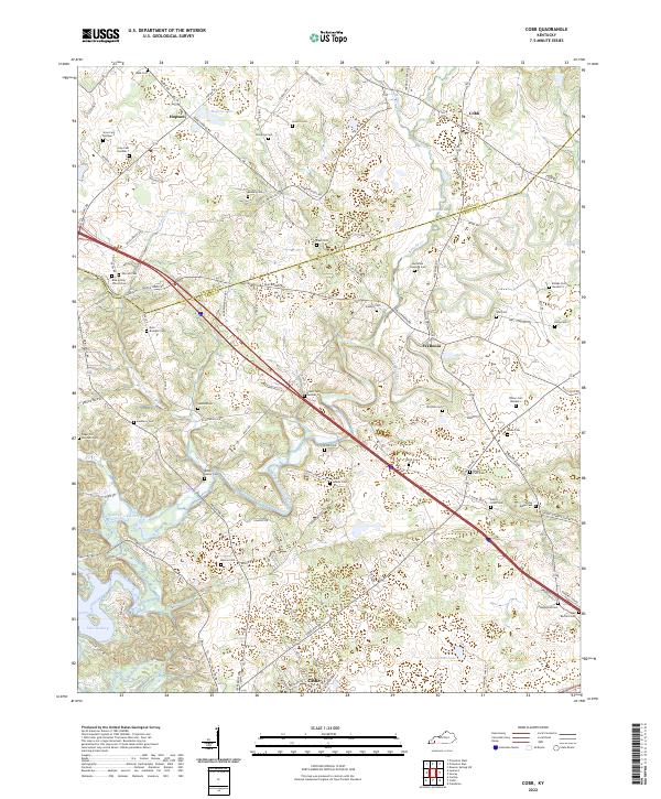
1967 Cobb
Trigg County, KY
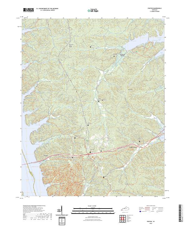
1967 Fenton
Trigg County, KY
1967 Lamasco
Trigg County, KY
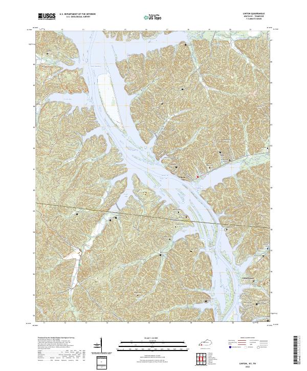
1967 Linton
Trigg County, KY
1974 Caledonia
Trigg County, KY
2010 Caledonia
Trigg County, KY
2010 Canton
Trigg County, KY
2010 Cobb
Trigg County, KY
2010 Fenton
Trigg County, KY
2010 Johnson Hollow
Trigg County, KY
2010 Lamasco
Trigg County, KY
2010 Roaring Spring
Trigg County, KY
2011 Linton
Trigg County, KY
2013 Caledonia
Trigg County, KY
2013 Canton
Trigg County, KY
2013 Cobb
Trigg County, KY
2013 Fenton
Trigg County, KY
2013 Johnson Hollow
Trigg County, KY
2013 Lamasco
Trigg County, KY
2013 Linton
Trigg County, KY
2013 Roaring Spring
Trigg County, KY
2016 Caledonia
Trigg County, KY
2016 Canton
Trigg County, KY
2016 Cobb
Trigg County, KY
2016 Fenton
Trigg County, KY
2016 Johnson Hollow
Trigg County, KY
2016 Lamasco
Trigg County, KY
2016 Linton
Trigg County, KY
2016 Roaring Spring
Trigg County, KY
2019 Caledonia
Trigg County, KY
2019 Canton
Trigg County, KY
2019 Cobb
Trigg County, KY
2019 Fenton
Trigg County, KY
2019 Johnson Hollow
Trigg County, KY
2019 Lamasco
Trigg County, KY
2019 Linton
Trigg County, KY
2019 Roaring Spring
Trigg County, KY
2022 Caledonia
Trigg County, KY
2022 Canton
Trigg County, KY
2022 Cobb
Trigg County, KY
2022 Fenton
Trigg County, KY
2022 Johnson Hollow
Trigg County, KY

2022 Lamasco
Trigg County, KY
2022 Linton
Trigg County, KY
2022 Roaring Spring
Trigg County, KY