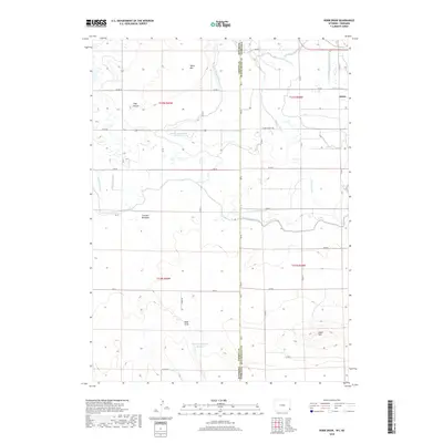
2018 Map of Robb Draw
USGS Topo · Published 2018About this map
Janise sits near the eastern edge of this High Plains landscape, where the state line between Wyoming and Nebraska and the county boundary of Goshen and Scotts Bluff define the political geography. The land is heavily marked by water management systems essential for western agriculture, featuring an extensive network of man-made waterways like the Fort Laramie Canal and numerous irrigation channels such as the S Horse Cr Lateral and Table Mountain Lateral. These features suggest a highly engineered environment designed to overcome the arid climate of the panhandle region.
Find a feature on this map
44 named features on this map. Tap any name to fly to it.
Don’t see what you’re looking for? This feature index may not catch every label — zoom into the map to look around manually.
Map Details
Editions of this 2018 Robb Draw Map
This is the sole edition of this map. No revisions or reprints were ever made.
Other maps of this area

1898 · Scotts Bluff
USGS Topo · 1:125,000

1899 · Goshen Hole
USGS Topo · 1:125,000

1954 · Scottsbluff
USGS Topo · 1:250,000

1954 · Cheyenne
USGS Topo · 1:250,000

1958 · Cheyenne
USGS Topo · 1:250,000

1958 · Scottsbluff
USGS Topo · 1:250,000

1960 · Huntley
USGS Topo · 1:24,000

1960 · Mc Compsey Pass
USGS Topo · 1:24,000

1960 · Lyman
USGS Topo · 1:24,000

1960 · Stegall
USGS Topo · 1:24,000