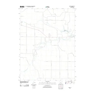
2010 Map of Robb
USGS Topo · Published 2010About this map
North Fork Republican River and Chief Creek define the drainage patterns of this high plains region in Yuma County. The settlement of Robb sits along the northern edge of the sheet, served by the primary east-west road and rail corridor. To the east, the impoundment of Stalker Lake behind the Chief Creek Number 4 Dam provides a localized water resource in an otherwise arid, agricultural landscape. The map reveals a rigid grid of rural infrastructure, defined by numerous county roads such as County Rd AA and County Rd 30, which partition the territory into large square sections typical of Eastern Colorado's land management. This 2010 survey reflects the enduring spatial organization of the region's farming and ranching economy, where water access remains the primary driver of development.
Find a feature on this map
26 named features on this map. Tap any name to fly to it.
Don’t see what you’re looking for? This feature index may not catch every label — zoom into the map to look around manually.
Map Details
Editions of this 2010 Robb Map
This is the sole edition of this map. No revisions or reprints were ever made.
Other maps of this area

1954 · Limon
USGS Topo · 1:250,000

1954 · Sterling
USGS Topo · 1:250,000

1957 · Limon
USGS Topo · 1:250,000

1958 · Limon
USGS Topo · 1:250,000

1958 · Sterling
USGS Topo · 1:250,000

1961 · Eckley
USGS Topo · 1:24,000

1961 · Robb
USGS Topo · 1:24,000

1961 · Wray
USGS Topo · 1:24,000

1963 · Vernon
USGS Topo · 1:24,000

1963 · Beecher Island NW
USGS Topo · 1:24,000