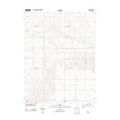
2013 Map of Robb
USGS Topo · Published 2013About this map
The settlement of Robb sits along the Us-34 E corridor, serving as a focal point for the high plains of Yuma County. This landscape is defined by the east-flowing North Fork Republican River and its tributary, Chief Creek, which carve gentle drainages through the surrounding topography. A notable recreational or ecological feature is Stalker Lake, situated north of the river and accessed by Stalker Pond Rd. The map reveals a rigid township and range system, with a dense network of county roads such as CO Road AA and CO Road GG marking almost every section line. This grid-heavy infrastructure underscores the region's agricultural foundations, where transport and water management are the primary drivers of land use.
Find a feature on this map
34 named features on this map. Tap any name to fly to it.
Don’t see what you’re looking for? This feature index may not catch every label — zoom into the map to look around manually.
Map Details
Editions of this 2013 Robb Map
This is the sole edition of this map. No revisions or reprints were ever made.
Other maps of this area

1954 · Limon
USGS Topo · 1:250,000

1954 · Sterling
USGS Topo · 1:250,000

1957 · Limon
USGS Topo · 1:250,000

1958 · Limon
USGS Topo · 1:250,000

1958 · Sterling
USGS Topo · 1:250,000

1961 · Eckley
USGS Topo · 1:24,000

1961 · Robb
USGS Topo · 1:24,000

1961 · Wray
USGS Topo · 1:24,000

1963 · Vernon
USGS Topo · 1:24,000

1963 · Beecher Island NW
USGS Topo · 1:24,000