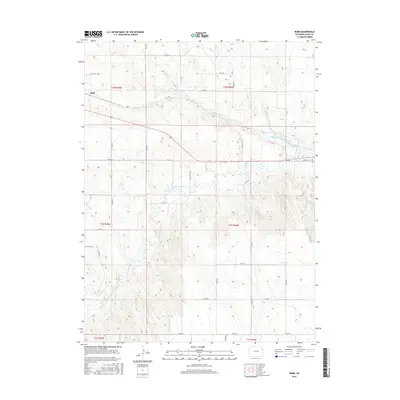
2016 Map of Robb
USGS Topo · Published 2016About this map
Robb serves as the focal point for this section of Yuma County, situated in a landscape defined by the drainage systems of the High Plains. The geography is characterized by the confluence and eastward flow of the N Fork Republican River and the Fork Republican River, which carve subtle valleys across the terrain. These waterways are joined by smaller tributaries such as Chief Cr, which feeds into the localized Stalker Lake. The map reveals a highly structured grid of county roads, including Co RD 38 and Co RD 30, reflecting a land-use pattern typical of agricultural and ranching operations in eastern Colorado. The placement of these roads and the naming of the Robb settlement emphasize a community built around the intersection of transport and natural water resources.
Find a feature on this map
32 named features on this map. Tap any name to fly to it.
Don’t see what you’re looking for? This feature index may not catch every label — zoom into the map to look around manually.
Map Details
Editions of this 2016 Robb Map
This is the sole edition of this map. No revisions or reprints were ever made.
Other maps of this area

1954 · Limon
USGS Topo · 1:250,000

1954 · Sterling
USGS Topo · 1:250,000

1957 · Limon
USGS Topo · 1:250,000

1958 · Limon
USGS Topo · 1:250,000

1958 · Sterling
USGS Topo · 1:250,000

1961 · Eckley
USGS Topo · 1:24,000

1961 · Robb
USGS Topo · 1:24,000

1961 · Wray
USGS Topo · 1:24,000

1963 · Vernon
USGS Topo · 1:24,000

1963 · Beecher Island NW
USGS Topo · 1:24,000