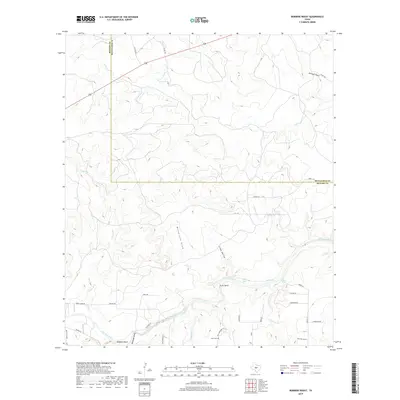
2019 Map of Robbers Roost
USGS Topo · Published 2019About this map
The San Saba River winds through the southern portion of this landscape, creating distinctive local features such as Picnic Bend and deep pools labeled as Billy Hole, Gravel Hole, and Goba Hole. Situated along the border of McCulloch and Menard Counties, the area is characterized by a network of drainage draws and creeks, including Calf Cr in the north and Fivemile Cr to the southeast.
Find a feature on this map
41 named features on this map. Tap any name to fly to it.
Don’t see what you’re looking for? This feature index may not catch every label — zoom into the map to look around manually.
Map Details
Editions of this 2019 Robbers Roost Map
This is the sole edition of this map. No revisions or reprints were ever made.
Other maps of this area

1887 · Mason
USGS Topo · 1:125,000

1892 · Eden
USGS Topo · 1:125,000

1894 · Brady
USGS Topo · 1:125,000

1894 · Mason
USGS Topo · 1:125,000

1896 · Eden
USGS Topo · 1:125,000

1954 · Brownwood
USGS Topo · 1:250,000

1954 · Llano
USGS Topo · 1:250,000

1955 · Llano
USGS Topo · 1:250,000

1956 · Llano
USGS Topo · 1:250,000

1963 · Brady SW
USGS Topo · 1:24,000