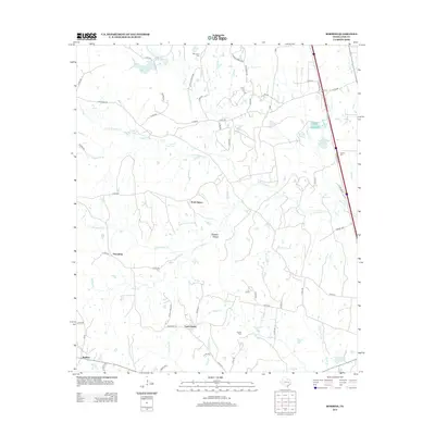
2013 Map of Robbins
USGS Topo · Published 2013About this map
North Salem and South Salem anchor a landscape defined by an intricate network of waterways in eastern Leon County. This region is dominated by the winding path of Lower Keechi Cr and its many tributaries, including Little Keechi Cr and Hogpen Br. The rural character of the area is underscored by local landmarks such as Alligator Hollow and several family-named burial grounds like Old Union Cem and Curtiss Cem.
Find a feature on this map
71 named features on this map. Tap any name to fly to it.
Don’t see what you’re looking for? This feature index may not catch every label — zoom into the map to look around manually.
Map Details
Editions of this 2013 Robbins Map
This is the sole edition of this map. No revisions or reprints were ever made.
Other maps of this area

1953 · Palestine
USGS Topo · 1:250,000

1954 · Waco
USGS Topo · 1:250,000

1955 · Waco
USGS Topo · 1:250,000

1956 · Jewett
USGS Topo · 1:62,500

1957 · Palestine
USGS Topo · 1:250,000

1964 · Centerville
USGS Topo · 1:24,000

1964 · Flo
USGS Topo · 1:24,000

1964 · Spring Seat
USGS Topo · 1:24,000

1964 · Leona
USGS Topo · 1:24,000

1964 · Margie
USGS Topo · 1:24,000