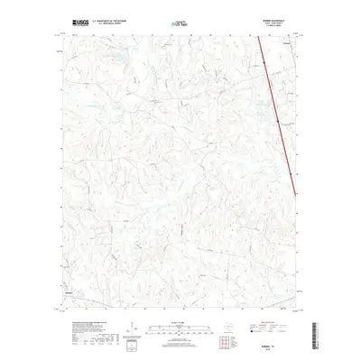
2019 Map of Robbins
USGS Topo · Published 2019About this map
Robbins and Corinth anchor this rural stretch of Leon County, where the landscape is defined by the winding drainage of the Lower Keechi Cr and its numerous tributaries. The area is characterized by a high concentration of small water bodies and wetlands, including the Upper Flag Pond, Lower Flag Pond, and Crews Lake Number 1. These features, along with names like Alligator Hollow, suggest a low-lying, riparian environment historically tied to the seasonal cycles of the creek system.
Find a feature on this map
64 named features on this map. Tap any name to fly to it.
Don’t see what you’re looking for? This feature index may not catch every label — zoom into the map to look around manually.
Map Details
Editions of this 2019 Robbins Map
This is the sole edition of this map. No revisions or reprints were ever made.
Other maps of this area

1953 · Palestine
USGS Topo · 1:250,000

1954 · Waco
USGS Topo · 1:250,000

1955 · Waco
USGS Topo · 1:250,000

1956 · Jewett
USGS Topo · 1:62,500

1957 · Palestine
USGS Topo · 1:250,000

1964 · Centerville
USGS Topo · 1:24,000

1964 · Flo
USGS Topo · 1:24,000

1964 · Spring Seat
USGS Topo · 1:24,000

1964 · Leona
USGS Topo · 1:24,000

1964 · Margie
USGS Topo · 1:24,000