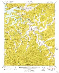
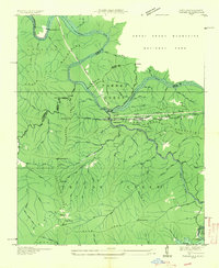
1940 Map of Robbinsville
USGS Topo · Published 1957About this map
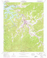
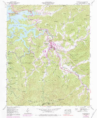
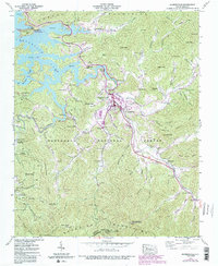
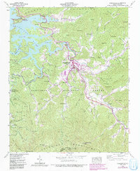
Robbinsville serves as the central hub of Graham County in this mid-century survey, situated at the confluence of several mountain valleys. The landscape is defined by the high peaks of the Cheoah Mountains and Snowbird Mountains, which fall within the Nantahala National Forest. A notable concentration of community landmarks appears south of the town center, including the Snowbird Cherokee Indian School and Zion Hill Ch. To the northwest, the recently formed Santeetlah Lake has fundamentally altered the terrain, creating a complex shoreline that borders the CCC Camp NCF24. Genealogists will find numerous family-named burial grounds like Massey Cem and Holloway Cem, alongside rural social centers such as the Mountain Creek School and Cheoah Ch. Significant elevations are marked by the Teyahalee Bald Tathama Lookout Tower, providing a clear view of the complex hydrology of the Cheoah River watershed.
Find a feature on this map
89 named features on this map. Tap any name to fly to it.
Don’t see what you’re looking for? This feature index may not catch every label — zoom into the map to look around manually.
Map Details
Editions of this 1940 Robbinsville Map
8 editions found
Other maps of this area

1933 · Bushnell
USGS Topo · 1:62,500

1935 · Robbinsville
USGS Topo · 1:24,000

1935 · Fontana
USGS Topo · 1:24,000

1935 · Topton
USGS Topo · 1:24,000

1935 · Marble
USGS Topo · 1:24,000

1935 · Wayah Bald
USGS Topo · 1:48,000

1935 · Santeetlah Creek
USGS Topo · 1:24,000

1935 · Andrews
USGS Topo · 1:24,000
1935 · Tapoco
USGS Topo · 1:24,000

1936 · Proctor
USGS Topo · 1:24,000