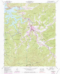
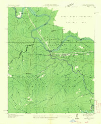
1940 Map of Robbinsville
USGS Topo · Published 1984About this map
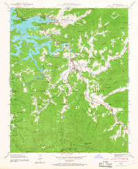
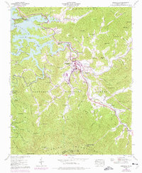
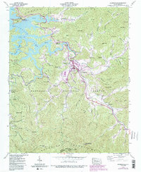
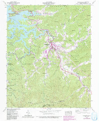
Robbinsville serves as the focal point of this Graham County landscape, where the confluence of Tulula Creek and the Cheoah River meets the expansive waters of Santeetlah Lake. The 1940 data, supplemented by 1970s aerial revisions, documents a region defined by its complex mountain gaps and tight-knit rural institutions. Genealogists and historians will find significant detail regarding the Eastern Band of Cherokee Indians, with markers for land tracts and the Snowbird Cherokee Indian Sch near Zion Hill Ch. The geography is characterized by the Snowbird Mountains and Cheoah Mountains, connected by numerous passes like Highland Gap and Snowbird Gap. Cultural sites including Massey Cem and Mountain Creek Sch are dispersed throughout the Nantahala National Forest, while the Teyahalee Bald Lookout Tower overlooks the southern ridges.
Find a feature on this map
85 named features on this map. Tap any name to fly to it.
Don’t see what you’re looking for? This feature index may not catch every label — zoom into the map to look around manually.
Map Details
Editions of this 1940 Robbinsville Map
8 editions found
Other maps of this area

1933 · Bushnell
USGS Topo · 1:62,500

1935 · Robbinsville
USGS Topo · 1:24,000

1935 · Fontana
USGS Topo · 1:24,000

1935 · Topton
USGS Topo · 1:24,000

1935 · Marble
USGS Topo · 1:24,000

1935 · Wayah Bald
USGS Topo · 1:48,000

1935 · Santeetlah Creek
USGS Topo · 1:24,000

1935 · Andrews
USGS Topo · 1:24,000
1935 · Tapoco
USGS Topo · 1:24,000

1936 · Proctor
USGS Topo · 1:24,000