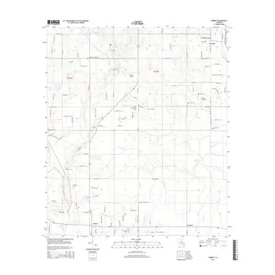
2015 Map of Robert
USGS Topo · Published 2015About this map
The Tangipahoa River and its intricate network of tributaries define this landscape in eastern Louisiana. Low-lying waterways such as Washley Cr, Baggage Br, and Holden Br weave through the terrain, supporting local settlements like Lorraine and Uneedus. For genealogists and local historians, the sheet is particularly valuable for its documentation of family-named burial sites, including Joiner Cem, Wilson-Willie Cem, and two separate locations for Robertson Cem.
Find a feature on this map
119 named features on this map. Tap any name to fly to it.
Don’t see what you’re looking for? This feature index may not catch every label — zoom into the map to look around manually.
Map Details
Editions of this 2015 Robert Map
This is the sole edition of this map. No revisions or reprints were ever made.
Other maps of this area

1935 · Covington
USGS Topo · 1:62,500

1935 · Ponchatoula
USGS Topo · 1:62,500

1939 · Ponchatoula
USGS Topo · 1:62,500

1939 · Covington
USGS Topo · 1:62,500

1940 · Tickfaw
USGS Topo · 1:31,680

1942 · Onville
USGS Topo · 1:31,680

1942 · Husser
USGS Topo · 1:31,680

1942 · Robert
USGS Topo · 1:31,680

1942 · Loranger
USGS Topo · 1:31,680

1950 · Folsom
USGS Topo · 1:31,680