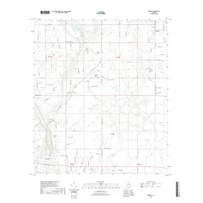
2018 Map of Robert
USGS Topo · Published 2018About this map
Robert and the small community of Lorraine anchor this landscape along the lower reaches of the Tangipahoa River. The area is defined by a dense network of winding tributaries and wetlands, including Chappepeela Creek, Bedico Cr, and Washley Cr. This environment supports a mix of agriculture and specialized aviation, evidenced by the presence of the Shaw Crop Service Airport and Koenig Airpark.
Find a feature on this map
101 named features on this map. Tap any name to fly to it.
Don’t see what you’re looking for? This feature index may not catch every label — zoom into the map to look around manually.
Map Details
Editions of this 2018 Robert Map
This is the sole edition of this map. No revisions or reprints were ever made.
Other maps of this area

1935 · Covington
USGS Topo · 1:62,500

1935 · Ponchatoula
USGS Topo · 1:62,500

1939 · Ponchatoula
USGS Topo · 1:62,500

1939 · Covington
USGS Topo · 1:62,500

1940 · Tickfaw
USGS Topo · 1:31,680

1942 · Onville
USGS Topo · 1:31,680

1942 · Husser
USGS Topo · 1:31,680

1942 · Robert
USGS Topo · 1:31,680

1942 · Loranger
USGS Topo · 1:31,680

1950 · Folsom
USGS Topo · 1:31,680