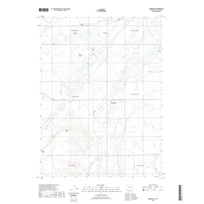
2017 Map of Robertson
USGS Topo · Published 2017About this map
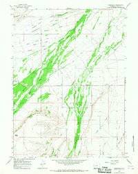
Robertson anchors this pocket of Uinta County, situated at a junction of county roads where the high desert terrain of southwestern Wyoming meets a complex network of waterways. The landscape is defined by the convergence of major drainages, including Blacks Fork and Smiths Fork, which are supplemented by early 20th-century irrigation works like the Pine Grove Canal and Lambs Supply Ditch. These diversions illustrate the area's agricultural adaptation to the arid environment. Higher elevations are marked by distinctive landmarks such as Cap White Ridge and the prominent Dans Nipple to the southwest. For those tracing family histories in the region, the Johnson Cem sits just south of the main settlement near Willow Cr. The map also captures several named draws and washes, such as Ingersoll Wash and Brewster Draw, which carve through the high plains of Nebraska Flat.
Find a feature on this map
45 named features on this map. Tap any name to fly to it.
Don’t see what you’re looking for? This feature index may not catch every label — zoom into the map to look around manually.
Map Details
Editions of this 2017 Robertson Map
This is the sole edition of this map. No revisions or reprints were ever made.
Other maps of this area

1954 · Ogden
USGS Topo · 1:250,000

1958 · Ogden
USGS Topo · 1:250,000

1960 · Ogden
USGS Topo · 1:250,000

1964 · Fort Bridger
USGS Topo · 1:24,000

1964 · Mountain View
USGS Topo · 1:24,000
1964 · Table Mountain
USGS Topo · 1:24,000
1964 · Leavitt Bench
USGS Topo · 1:24,000
1964 · Buck Fever Ridge
USGS Topo · 1:24,000
1964 · Robertson
USGS Topo · 1:24,000

1965 · Leroy
USGS Topo · 1:24,000