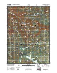
2011 Map of Robinson Butte
USGS Topo · Published 2011About this map
Howard Prairie Lake sits along the southern edge of this Jackson County landscape, representing a high-elevation watershed defined by its numerous prairies and mountain buttes. The map documents a rugged forest interior where Dead Indian Creek and the South Fork Little Butte Creek carve through the terrain of the Rogue River National Forest. Local history is visible in the scattered clearings and settlements such as Gawa Church Camp, Owens Ranch, and the Dead Indian Soda Springs. The naming of areas like Railroad Prairie, Short Creek Prairie, and Little Elk Prairie suggests a legacy of seasonal grazing or early transport routes through these alpine openings. Prominent peaks including Robinson Butte and Dead Indian Mountain anchor the topography, while infrastructure like Grizzly Creek Dam Number 2 highlights modern water management within this timbered expanse.
Find a feature on this map
40 named features on this map. Tap any name to fly to it.
Don’t see what you’re looking for? This feature index may not catch every label — zoom into the map to look around manually.
Map Details
Editions of this 2011 Robinson Butte Map
This is the sole edition of this map. No revisions or reprints were ever made.
Other maps of this area

1891 · Ashland
USGS Topo · 1:250,000

1893 · Ashland
USGS Topo · 1:250,000

1897 · Ashland
USGS Topo · 1:250,000

1938 · Medford
USGS Topo · 1:125,000

1954 · Lakecreek
USGS Topo · 1:62,500

1954 · Ashland
USGS Topo · 1:62,500

1955 · Hyatt Reservoir
USGS Topo · 1:62,500

1955 · Mt. Mc Loughlin
USGS Topo · 1:62,500

1955 · Medford
USGS Topo · 1:250,000

1957 · Medford
USGS Topo · 1:250,000