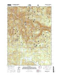
2017 Map of Robinson Butte
USGS Topo · Published 2017About this map
Howard Prairie Lake dominates the southern landscape of this Cascades region, its northern shoreline appearing alongside numerous small ponds and marshy areas near Owens Spring. The terrain is defined by high-elevation prairies and volcanic peaks, notably Robinson Butte in the northeast and Dead Indian Mtn toward the center. This high-country drainage system is complex, with Dead Indian Cr and its associated Dead Indian Soda Springs flowing through the heart of the Rogue River National Forest. The map captures a transition between dense forest and open natural clearings like Robinson Prairie, Short Creek Prairie, and the Service Glades. Local connectivity is maintained through an extensive network of forestry roads, including Dead Indian Memorial Rd and Keno Access Rd, which skirt the edges of deep drainages like Grizzly Canyon.
Find a feature on this map
41 named features on this map. Tap any name to fly to it.
Don’t see what you’re looking for? This feature index may not catch every label — zoom into the map to look around manually.
Map Details
Editions of this 2017 Robinson Butte Map
This is the sole edition of this map. No revisions or reprints were ever made.
Other maps of this area

1891 · Ashland
USGS Topo · 1:250,000

1893 · Ashland
USGS Topo · 1:250,000

1897 · Ashland
USGS Topo · 1:250,000

1938 · Medford
USGS Topo · 1:125,000

1954 · Lakecreek
USGS Topo · 1:62,500

1954 · Ashland
USGS Topo · 1:62,500

1955 · Hyatt Reservoir
USGS Topo · 1:62,500

1955 · Mt. Mc Loughlin
USGS Topo · 1:62,500

1955 · Medford
USGS Topo · 1:250,000

1957 · Medford
USGS Topo · 1:250,000