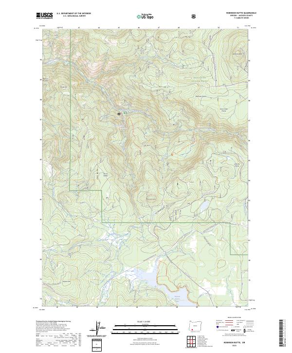
2023 Map of Robinson Butte
USGS Topo · Published 2023About this map
Latgawa Soda Springs and the northern shores of Howard Prairie Lake anchor this high-elevation landscape in the southern Oregon Cascades. The terrain is defined by a series of distinct clearings and volcanic prominences, including Robinson Butte, Shell Rock Butte, and Poole Hill. A network of forest roads and snowmobile trails like the Robinson Prairie Snomo Trl and Iron Springs Snomo Trl navigate the complex topography, connecting several named meadows such as Robinson Prairie, Short Creek Prairie, and Little Elk Prairie.
Find a feature on this map
39 named features on this map. Tap any name to fly to it.
Don’t see what you’re looking for? This feature index may not catch every label — zoom into the map to look around manually.
Map Details
Editions of this 2023 Robinson Butte Map
This is the sole edition of this map. No revisions or reprints were ever made.
Other maps of this area

1891 · Ashland
USGS Topo · 1:250,000

1893 · Ashland
USGS Topo · 1:250,000

1897 · Ashland
USGS Topo · 1:250,000

1938 · Medford
USGS Topo · 1:125,000

1954 · Lakecreek
USGS Topo · 1:62,500

1954 · Ashland
USGS Topo · 1:62,500

1955 · Hyatt Reservoir
USGS Topo · 1:62,500

1955 · Mt. Mc Loughlin
USGS Topo · 1:62,500

1955 · Medford
USGS Topo · 1:250,000

1957 · Medford
USGS Topo · 1:250,000