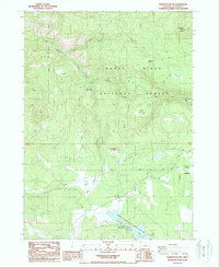
1988 Map of Robinson Butte
USGS Topo · Published 1998About this map
Rogue River National Forest dominates this landscape in the southern Oregon Cascades, where high-elevation prairies and remote ranching outposts defined the local geography during the late twentieth century. Family-named sites like Dahak Ranch, Bean Ranch, and Lindsay Ranch are scattered among the timber and meadows, showing the enduring footprint of grazing in the region. The map highlights several distinct open spaces including Dunlop Meadows and Little Elk Prairie, which break up the dense forest cover.
Find a feature on this map
39 named features on this map. Tap any name to fly to it.
Don’t see what you’re looking for? This feature index may not catch every label — zoom into the map to look around manually.
Map Details
Editions of this 1988 Robinson Butte Map
This is the sole edition of this map. No revisions or reprints were ever made.
Other maps of this area

1891 · Ashland
USGS Topo · 1:250,000

1893 · Ashland
USGS Topo · 1:250,000

1897 · Ashland
USGS Topo · 1:250,000

1938 · Medford
USGS Topo · 1:125,000

1954 · Lakecreek
USGS Topo · 1:62,500

1954 · Ashland
USGS Topo · 1:62,500

1955 · Hyatt Reservoir
USGS Topo · 1:62,500

1955 · Mt. Mc Loughlin
USGS Topo · 1:62,500

1955 · Medford
USGS Topo · 1:250,000

1957 · Medford
USGS Topo · 1:250,000