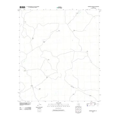
2010 Map of Robinson Draw
USGS Topo · Published 2010About this map
Taylor Ranch and the Whitehead Brothers Ranch occupy the high rangeland of Val Verde County, where the economy was long defined by vast sheep and goat ranching operations. The landscape is carved by the drainages of Dolan Creek and the long expanse of Robinson Draw, which channel seasonal water through this arid region. The map reveals the critical infrastructure of the Southwest's ranching history through its extensive network of named water sources, including Alta Windmill, Allen Windmill, and Robinson Windmill. These dispersed wells and ranch headquarters, connected by routes like Dolan Creek Rd, illustrate the sparse but deliberate settlement pattern required to maintain life and livestock in the Texas backcountry during the early 21st century.
Find a feature on this map
17 named features on this map. Tap any name to fly to it.
Don’t see what you’re looking for? This feature index may not catch every label — zoom into the map to look around manually.
Map Details
Editions of this 2010 Robinson Draw Map
This is the sole edition of this map. No revisions or reprints were ever made.
Other maps of this area

1943 · Carta Valley
USGS Topo · 1:62,500

1944 · Dry Devil
USGS Topo · 1:62,500

1954 · Sonora
USGS Topo · 1:250,000

1958 · Sonora
USGS Topo · 1:250,000

1958 · Del Rio
USGS Topo · 1:250,000

1964 · Del Rio
USGS Topo · 1:250,000

1973 · Turney Draw NW
USGS Topo · 1:24,000

1973 · White Draw NW
USGS Topo · 1:24,000

1973 · Robinson Draw
USGS Topo · 1:24,000

1973 · Four Mills
USGS Topo · 1:24,000