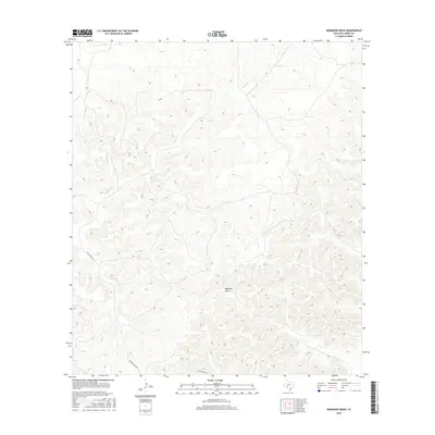
2016 Map of Robinson Draw
USGS Topo · Published 2016About this map
Robinson Draw carves a deep path through this section of Val Verde County, defining a complex system of drainage and topography characteristic of the Texas canyonlands. This 2016 survey shows a landscape almost entirely defined by its natural hydrology, where Dolan Cr and its tributaries have sculpted the earth over millennia. The winding Dolan Creek Rd provides the primary transit route through this remote terrain, following the natural contours of the land. For researchers and geologists, the map captures the intricate relationship between the intermittent watercourses and the dry uplands, offering a precise view of the physical geography before any modern large-scale development has altered the surface.
Find a feature on this map
3 named features on this map. Tap any name to fly to it.
Don’t see what you’re looking for? This feature index may not catch every label — zoom into the map to look around manually.
Map Details
Editions of this 2016 Robinson Draw Map
This is the sole edition of this map. No revisions or reprints were ever made.
Other maps of this area

1943 · Carta Valley
USGS Topo · 1:62,500

1944 · Dry Devil
USGS Topo · 1:62,500

1954 · Sonora
USGS Topo · 1:250,000

1958 · Sonora
USGS Topo · 1:250,000

1958 · Del Rio
USGS Topo · 1:250,000

1964 · Del Rio
USGS Topo · 1:250,000

1973 · Turney Draw NW
USGS Topo · 1:24,000

1973 · White Draw NW
USGS Topo · 1:24,000

1973 · Robinson Draw
USGS Topo · 1:24,000

1973 · Four Mills
USGS Topo · 1:24,000