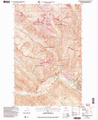
2002 Map of Robinson Mountain
USGS Topo · Published 2006About this map
Robinson Mountain and the high ridges of the North Cascades define this pocket of the Okanogan National Forest in the early 2000s. The landscape is characterized by a network of drainage systems, including Robinson Creek, Eureka Creek, and the Methow River, which flow through deep glacial valleys. Near the confluence of these waters, small settlements and outposts like Ballard and Rivers Bend appear at the end of the valley floor, alongside the Lost River Landing Strip.
Find a feature on this map
45 named features on this map. Tap any name to fly to it.
Don’t see what you’re looking for? This feature index may not catch every label — zoom into the map to look around manually.
Map Details
Editions of this 2002 Robinson Mountain Map
This is the sole edition of this map. No revisions or reprints were ever made.
Other maps of this area

1920 · Slate Pass
USGS Topo · 1:125,000

1955 · Concrete
USGS Topo · 1:250,000

1958 · Concrete
USGS Topo · 1:250,000

1962 · Concrete
USGS Topo · 1:250,000

1962 · Mazama
USGS Topo · 1:62,500

1963 · Washington Pass
USGS Topo · 1:24,000

1963 · Slate Peak
USGS Topo · 1:24,000

1963 · Silver Star Mtn.
USGS Topo · 1:24,000
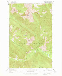
1963 · Robinson Mtn.
USGS Topo · 1:24,000

1969 · Lost Peak
USGS Topo · 1:24,000