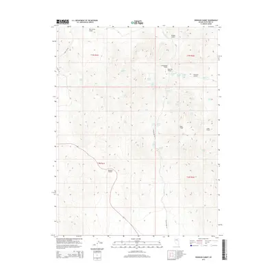
2014 Map of Robinson Summit
USGS Topo · Published 2014About this map
Robinson Summit stands as a primary high-altitude landmark in this portion of the Egan Range, where a network of remote springs once supported the movement of people and livestock through the high desert. The landscape is defined by its numerous water sources, including family-named and descriptive landmarks like Schoolhouse Spring, Piscevich Summit, and Camptender Spring. These springs are often found at the heads of drainages such as Sage Hen Canyon and Bradley Canyon, indicating a historical reliance on these precise points for survival in an arid climate.
Find a feature on this map
45 named features on this map. Tap any name to fly to it.
Don’t see what you’re looking for? This feature index may not catch every label — zoom into the map to look around manually.
Map Details
Editions of this 2014 Robinson Summit Map
This is the sole edition of this map. No revisions or reprints were ever made.
Other maps of this area

1952 · Ely
USGS Topo · 1:125,000

1956 · Ely
USGS Topo · 1:250,000

1958 · Ruth
USGS Topo · 1:24,000

1958 · McGill
USGS Topo · 1:62,500

1958 · Reipetown
USGS Topo · 1:24,000

1959 · Ely
USGS Topo · 1:250,000

1959 · Reipetown
USGS Topo · 1:62,500

1963 · Ely
USGS Topo · 1:250,000

1979 · Mt. Hamilton
USGS Topo · 1:100,000
1982 · Steptoe Ranch
USGS Topo · 1:24,000