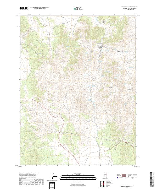
2021 Map of Robinson Summit
USGS Topo · Published 2021About this map
Robinson Summit and the high elevations of the Egan Range define this high-altitude landscape in White Pine County. The area is characterized by a high density of named water sources that supported early activity in the high desert, including Schoolhouse Spring, Jamestown Spring, and Camptender Spring. These water points are scattered throughout dramatic landforms like Sage Hen Canyon and Bradley Canyon.
Find a feature on this map
51 named features on this map. Tap any name to fly to it.
Don’t see what you’re looking for? This feature index may not catch every label — zoom into the map to look around manually.
Map Details
Editions of this 2021 Robinson Summit Map
This is the sole edition of this map. No revisions or reprints were ever made.
Other maps of this area

1952 · Ely
USGS Topo · 1:125,000

1956 · Ely
USGS Topo · 1:250,000

1958 · Ruth
USGS Topo · 1:24,000

1958 · McGill
USGS Topo · 1:62,500

1958 · Reipetown
USGS Topo · 1:24,000

1959 · Ely
USGS Topo · 1:250,000

1959 · Reipetown
USGS Topo · 1:62,500

1963 · Ely
USGS Topo · 1:250,000

1979 · Mt. Hamilton
USGS Topo · 1:100,000
1982 · Steptoe Ranch
USGS Topo · 1:24,000