
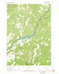
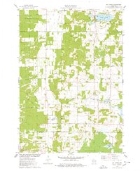
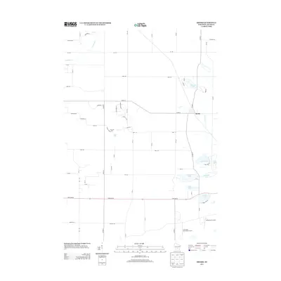
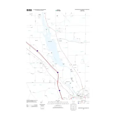
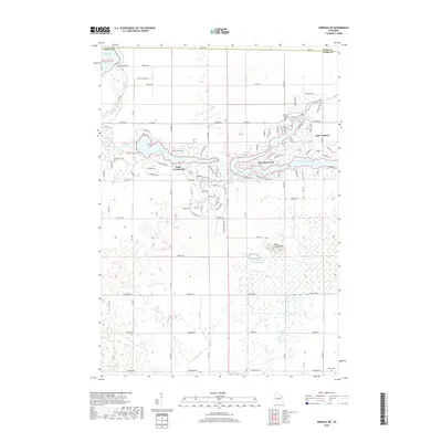
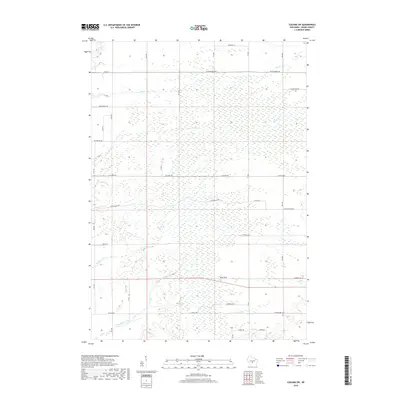
1967 Map of Roche A Cri
USGS Topo · Published 1984About this map
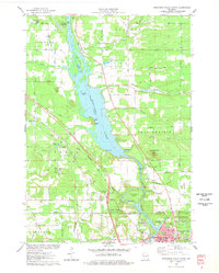
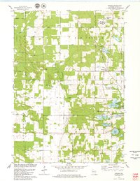
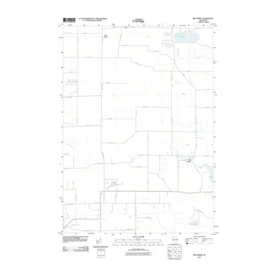
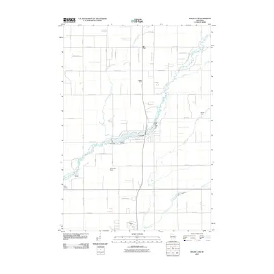
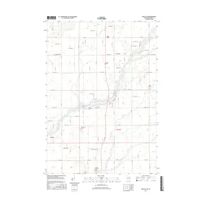
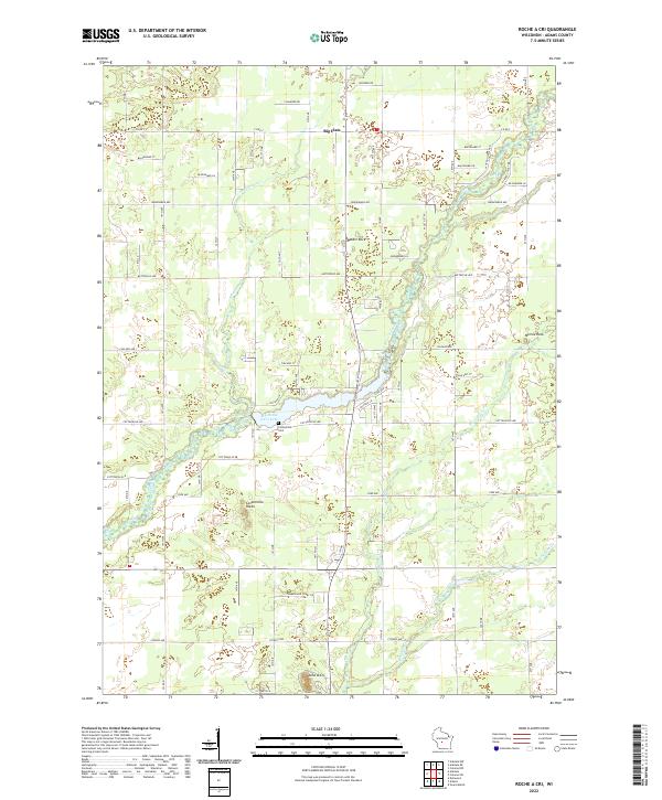
Big Roche A Cri Lake serves as a central focal point in this Central Wisconsin landscape, where the waters of Roche a Cri Creek are harnessed by a dam system. The terrain is marked by distinctive geological outcrops such as Rabbit Rock, Minnie Rock, and Cottonville Rocks, which rise above the surrounding glacial plains. This 1960s-era survey reveals a community anchored by rural institutions, including the Pineland Sch and Cottonville Cem. The northern portion of the map is dominated by the Big Flats region, characterized by a regular grid of avenues like Brown Deer Avenue and Buttercup Avenue. To the south, the Roche A Cri State Park and Roche a Cri Campground highlight the area's transition into a recreational landscape, while the presence of a Cranberry Bog near Bingham Creek indicates the specialized agricultural use of the wetlands common to Adams County.
Find a feature on this map
33 named features on this map. Tap any name to fly to it.
Don’t see what you’re looking for? This feature index may not catch every label — zoom into the map to look around manually.
Map Details
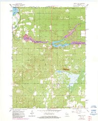
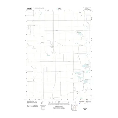
Editions of this 1967 Roche A Cri Map
2 editions found
Historical Maps of Strongs Prairie Through Time
42 maps found
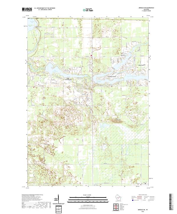
1967 Arkdale NE
Adams County, WI
1967 Roche A Cri
Adams County, WI
1968 Coloma NW
Adams County, WI
1968 Coloma SW
Adams County, WI
1975 Big Spring
Adams County, WI
1975 Wisconsin Dells North
Adams County, WI
1979 Brooks
Adams County, WI
2010 Arkdale NE
Adams County, WI
2010 Big Spring
Adams County, WI
2010 Brooks
Adams County, WI
2010 Coloma NW
Adams County, WI
2010 Coloma SW
Adams County, WI
2010 Roche A Cri
Adams County, WI
2010 Wisconsin Dells North
Adams County, WI
2013 Arkdale NE
Adams County, WI
2013 Big Spring
Adams County, WI
2013 Brooks
Adams County, WI
2013 Coloma NW
Adams County, WI
2013 Coloma SW
Adams County, WI
2013 Roche A Cri
Adams County, WI
2013 Wisconsin Dells North
Adams County, WI
2015 Arkdale NE
Adams County, WI
2015 Coloma NW
Adams County, WI
2015 Coloma SW
Adams County, WI
2015 Roche A Cri
Adams County, WI
2016 Big Spring
Adams County, WI
2016 Brooks
Adams County, WI
2016 Wisconsin Dells North
Adams County, WI
2018 Arkdale NE
Adams County, WI
2018 Big Spring
Adams County, WI
2018 Brooks
Adams County, WI
2018 Coloma NW
Adams County, WI
2018 Coloma SW
Adams County, WI
2018 Roche A Cri
Adams County, WI
2018 Wisconsin Dells North
Adams County, WI
2022 Arkdale NE
Adams County, WI
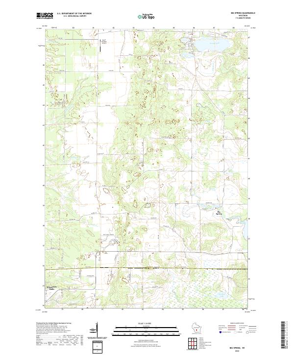
2022 Big Spring
Adams County, WI
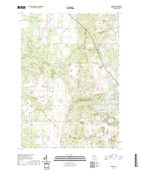
2022 Brooks
Adams County, WI
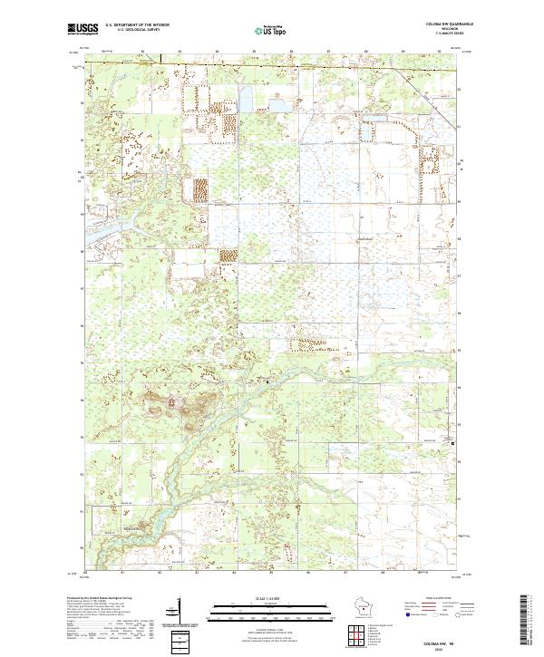
2022 Coloma NW
Adams County, WI
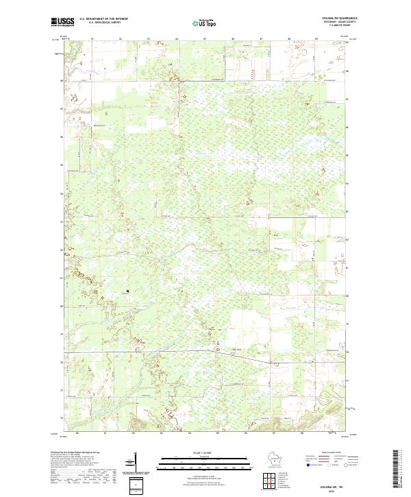
2022 Coloma SW
Adams County, WI
2022 Roche A Cri
Adams County, WI
2022 Wisconsin Dells North
Adams County, WI