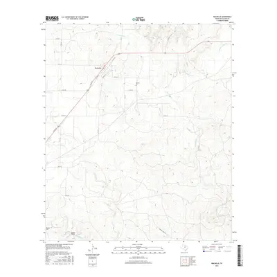
2016 Map of Rochelle
USGS Topo · Published 2016About this map
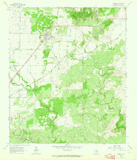
Rochelle sits at the junction of several ranching routes in this central Texas landscape, where the town’s grid is anchored by Grace Ave and the surrounding rangeland. The area is defined by a dense network of seasonal drainages, including Onion Cr and its tributary Little Onion Cr, which cut through the undulating terrain. To the south, the landscape rises toward Bryson Hill and the community of Sweden Hollow near Brady Creek. Genealogists and local historians can locate the Rochelle Cem east of the main settlement. This 2016 survey illustrates the persistent rural character of McCulloch County, showing how the modern road network, including FM 1121 and FM 2315, continues to follow the natural contours and watercourses like Little Brady Cr and Richland Springs Cr.
Find a feature on this map
28 named features on this map. Tap any name to fly to it.
Don’t see what you’re looking for? This feature index may not catch every label — zoom into the map to look around manually.
Map Details
Editions of this 2016 Rochelle Map
This is the sole edition of this map. No revisions or reprints were ever made.
Other maps of this area

1894 · Brady
USGS Topo · 1:125,000

1928 · Mercury
USGS Topo · 1:62,500

1928 · Waldrip
USGS Topo · 1:62,500

1950 · Mercury
USGS Topo · 1:62,500

1954 · Brownwood
USGS Topo · 1:250,000

1960 · Brady North
USGS Topo · 1:24,000
1963 · Pecan Springs
USGS Topo · 1:24,000
1963 · Voca
USGS Topo · 1:24,000
1963 · Lost Creek
USGS Topo · 1:24,000
1963 · Rochelle
USGS Topo · 1:24,000