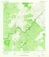
1963 Map of Pecan Springs
USGS Topo · Published 1964About this map
San Saba River winds through the heart of this Central Texas landscape, defining a terrain of deep limestone valleys and isolated ranching operations. The 1963 survey captures a rural environment where water is the primary driver of settlement and infrastructure, marked by the namesake Pecan Springs and a series of vital water-drawing stations like Gressett Windmill and Indian Mound Windmill.
Find a feature on this map
23 named features on this map. Tap any name to fly to it.
Don’t see what you’re looking for? This feature index may not catch every label — zoom into the map to look around manually.
Map Details
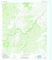
Editions of this 1963 Pecan Springs Map
2 editions found
Other maps of this area

1885 · San Saba
USGS Topo · 1:125,000

1887 · Llano
USGS Topo · 1:125,000

1887 · Mason
USGS Topo · 1:125,000

1894 · Brady
USGS Topo · 1:125,000

1894 · Mason
USGS Topo · 1:125,000

1894 · San Saba
USGS Topo · 1:125,000

1894 · Llano
USGS Topo · 1:125,000

1904 · Llano
USGS Topo · 1:125,000

1909 · Llano
USGS Topo · 1:125,000

1918 · Llano
USGS Topo · 1:125,000