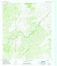
1963 Map of Pecan Springs
USGS Topo · Published 1991About this map
The San Saba River carves a winding path through the heart of this Central Texas landscape, featuring the prominent Horseshoe Bend as it flows toward the county line between McCulloch and San Saba. This 1963 field-checked survey reveals a ranching economy defined by water management in an arid environment, where named landmarks like Cressette Windmill and Indian Mound Windmill served as vital infrastructure for local landholders.
Find a feature on this map
22 named features on this map. Tap any name to fly to it.
Don’t see what you’re looking for? This feature index may not catch every label — zoom into the map to look around manually.
Map Details
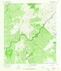
Editions of this 1963 Pecan Springs Map
2 editions found
Other maps of this area

1885 · San Saba
USGS Topo · 1:125,000

1887 · Llano
USGS Topo · 1:125,000

1887 · Mason
USGS Topo · 1:125,000

1894 · Brady
USGS Topo · 1:125,000

1894 · Mason
USGS Topo · 1:125,000

1894 · San Saba
USGS Topo · 1:125,000

1894 · Llano
USGS Topo · 1:125,000

1904 · Llano
USGS Topo · 1:125,000

1909 · Llano
USGS Topo · 1:125,000

1918 · Llano
USGS Topo · 1:125,000