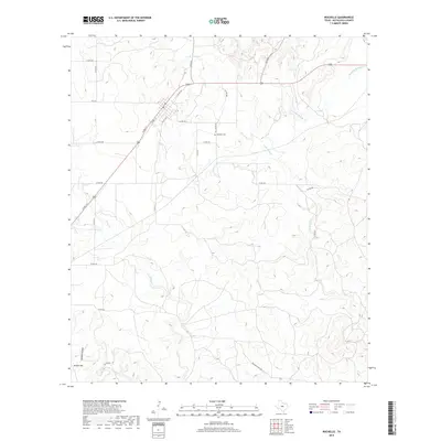
2019 Map of Rochelle
USGS Topo · Published 2019About this map
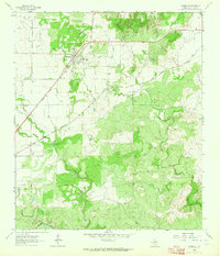
Rochelle Cem stands as a focal point for local history in this part of McCulloch County, situated near the headwaters of Little Brady Cr. The landscape is defined by the dendritic drainage patterns of Richland Springs Cr and Deep Cr in the northeast, while the southwestern corner rises toward Bryson Hill and the distinct depression of Sweden Hollow. The area's rural character is maintained through an extensive network of county roads like Co RD 417 and Co RD 412, which follow the contours of the terrain rather than a strict grid. This modern topographic study illustrates how contemporary ranching and transportation routes, such as Brasade Ranch Rd, continue to navigate the complex hydrology formed by Onion Cr and its tributaries.
Find a feature on this map
28 named features on this map. Tap any name to fly to it.
Don’t see what you’re looking for? This feature index may not catch every label — zoom into the map to look around manually.
Map Details
Editions of this 2019 Rochelle Map
This is the sole edition of this map. No revisions or reprints were ever made.
Other maps of this area

1894 · Brady
USGS Topo · 1:125,000

1928 · Mercury
USGS Topo · 1:62,500

1928 · Waldrip
USGS Topo · 1:62,500

1950 · Mercury
USGS Topo · 1:62,500

1954 · Brownwood
USGS Topo · 1:250,000

1960 · Brady North
USGS Topo · 1:24,000
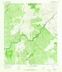
1963 · Pecan Springs
USGS Topo · 1:24,000
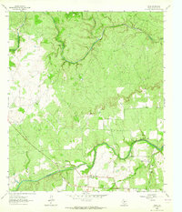
1963 · Voca
USGS Topo · 1:24,000
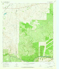
1963 · Lost Creek
USGS Topo · 1:24,000
1963 · Rochelle
USGS Topo · 1:24,000