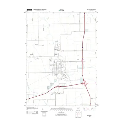
2012 Map of Rochelle
USGS Topo · Published 2012About this map
Rochelle serves as the focal point of this 2012 survey, revealing the modern spatial organization of this Ogle County hub and its suburban reaches. The map details the residential expansion northward into Hillcrest and the Askvig Addition, while industrial and agricultural interests converge near the Rochelle Municipal Airport-Koritz Field and Southgate. This era shows a landscape where water management and recreation are integrated into the town's fabric, seen in the proximity of Spring Lake, Lake Lida, and Lake Sule to the major transportation corridors. Genealogists and local historians can locate several significant burial grounds, including Lawnridge Cem, Saint Patrick's Cem, and Trinity Memorial Cem. The winding Kyte River and smaller tributaries like Steward Cr and Beach Cr define the natural drainage patterns of the surrounding farmland, which remains dotted with named family tracts like Kenar Farms.
Find a feature on this map
104 named features on this map. Tap any name to fly to it.
Don’t see what you’re looking for? This feature index may not catch every label — zoom into the map to look around manually.
Map Details
Editions of this 2012 Rochelle Map
This is the sole edition of this map. No revisions or reprints were ever made.
Other maps of this area

1917 · Kings
USGS Topo · 1:62,500

1918 · Kings
USGS Topo · 1:62,500

1918 · Kirkland
USGS Topo · 1:62,500

1934 · De Kalb
USGS Topo · 1:62,500

1937 · De Kalb
USGS Topo · 1:62,500

1952 · Rochelle
USGS Topo · 1:62,500

1954 · Rockford
USGS Topo · 1:250,000

1955 · Rockford
USGS Topo · 1:250,000

1958 · Aurora
USGS Topo · 1:250,000

1958 · Rockford
USGS Topo · 1:250,000