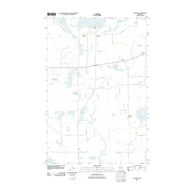
2010 Map of Rochert
USGS Topo · Published 2010About this map
Rochert serves as the central hub of this lake-strewn landscape in Becker County, where the Otter Tail River winds through a dense network of glacial basins and wetlands. The geography is defined by managed water levels and historical family legacies, evidenced by the Cotton Lake Diversion Dam and the Hubbel Pond Dam. For those tracing local heritage, the area is dotted with small burial grounds, including the Mennonite Cemetery, the Dretsch Family Memorial Cemetery, and Senjen Cemetery. Large water bodies like Cotton Lake, Rice Lake, and Hungry Lake are interconnected by minor tributaries and county roads, reflecting a rural township structure where settlement is closely tied to the waterfront. The transition from Burlington Twp 10 to Silverleaf Twp 14 highlights the organized division of this recreational and agricultural region.
Find a feature on this map
51 named features on this map. Tap any name to fly to it.
Don’t see what you’re looking for? This feature index may not catch every label — zoom into the map to look around manually.
Map Details
Editions of this 2010 Rochert Map
This is the sole edition of this map. No revisions or reprints were ever made.
Other maps of this area

1912 · Vergas
USGS Topo · 1:62,500

1915 · Perham
USGS Topo · 1:62,500

1915 · Vergas
USGS Topo · 1:62,500

1953 · Brainerd
USGS Topo · 1:250,000

1957 · Brainerd
USGS Topo · 1:250,000

1958 · Brainerd
USGS Topo · 1:250,000

1959 · Toad Mountain
USGS Topo · 1:24,000

1959 · Flat Lake
USGS Topo · 1:24,000

1959 · Rochert
USGS Topo · 1:24,000

1959 · Richwood
USGS Topo · 1:24,000