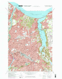
1971 Map of Rochester East
USGS Topo · Published 1979About this map
Irondequoit Bay dominates the eastern half of this landscape, its complex shoreline dotted with small landings and coves like Big Massaug Cove and Helds Cove. The map records a period of dense suburbanization within Irondequoit and Rochester, where an extensive grid of residential streets is punctuated by numerous numbered public schools and parochial institutions such as St Margaret Mary Sch. Along the Lake Ontario shoreline, recreational and maritime interests are evident, from the U S Coast Guard Station at the mouth of the Genesee River to the lakeside communities of Sea Breeze and Oklahoma Beach. Significant infrastructure like the Cobbs Hill Reservoir and the Rochester General Hospital campus highlight the mid-century civic development of the area, while the industrial and transport history is represented by the Penn Central and Erie Lackawanna rail lines weaving through the city.
Find a feature on this map
102 named features on this map. Tap any name to fly to it.
Don’t see what you’re looking for? This feature index may not catch every label — zoom into the map to look around manually.
Map Details
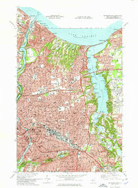
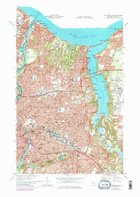
Editions of this 1971 Rochester East Map
3 editions found
Other maps of this area

1895 · Rochester
USGS Topo · 1:62,500

1895 · Ontario Beach
USGS Topo · 1:62,500

1898 · Rochester
USGS Topo · 1:62,500

1899 · Ontario Beach
USGS Topo · 1:62,500

1900 · Macedon
USGS Topo · 1:62,500

1912 · Rochester
USGS Topo · 1:62,500

1912 · Ontario Beach
USGS Topo · 1:62,500

1920 · Rochester
USGS Topo · 1:62,500

1931 · Mendon Ponds
USGS Topo · 1:24,000

1931 · Rochester West
USGS Topo · 1:24,000