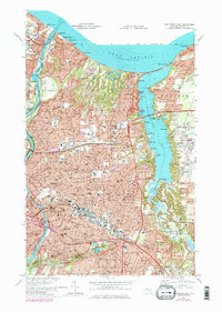
1971 Map of Rochester East
USGS Topo · Published 1979About this map
The Lake Ontario shoreline meets the deep indentation of Irondequoit Bay on this survey of eastern Rochester and its lakefront suburbs. The landscape is defined by the contrast between the dense urban grid of Rochester and the expansive recreational green space of Durand-Eastman Park. Transportation patterns are shifting during the 1970s, as shown by the network of heavy rail including the B & O and Penn Central lines alongside modern highway corridors like Route 104.
Find a feature on this map
118 named features on this map. Tap any name to fly to it.
Don’t see what you’re looking for? This feature index may not catch every label — zoom into the map to look around manually.
Map Details
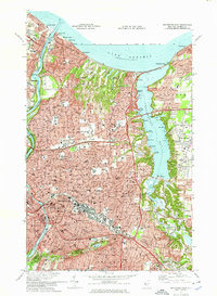
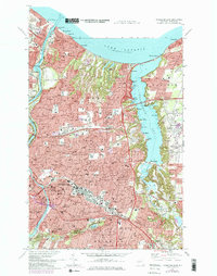
Editions of this 1971 Rochester East Map
3 editions found
Other maps of this area

1895 · Rochester
USGS Topo · 1:62,500

1895 · Ontario Beach
USGS Topo · 1:62,500

1898 · Rochester
USGS Topo · 1:62,500

1899 · Ontario Beach
USGS Topo · 1:62,500

1900 · Macedon
USGS Topo · 1:62,500

1912 · Rochester
USGS Topo · 1:62,500

1912 · Ontario Beach
USGS Topo · 1:62,500

1920 · Rochester
USGS Topo · 1:62,500

1931 · Mendon Ponds
USGS Topo · 1:24,000

1931 · Rochester West
USGS Topo · 1:24,000