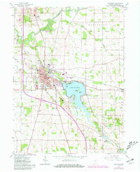
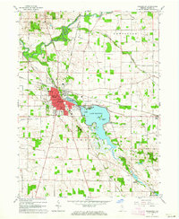
1962 Map of Rochester
USGS Topo · Published 1981About this map
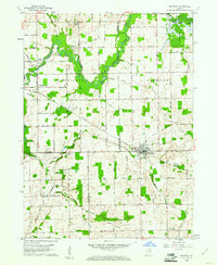
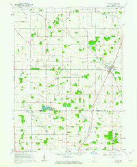
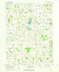
Lake Manitou dominates the central landscape of this Indiana survey, its waters dotted with named landmarks like Big Island, Treasure Island, and Coney Island. The city of Rochester serves as the focal point of the quadrangle, where the Courthouse and City Hall sit alongside the Norfolk and Western railroad corridor. An interesting historical layer is provided by the Old Indian Treaty Boundary, which cuts diagonally across the northern townships of Richland and Newcastle. The surrounding rural landscape is defined by an extensive drainage system, including Smith Ditch and Mc Mahan Ditch, reflecting the region's agricultural engineering. Local heritage is preserved through numerous family and community sites such as the Old Shelton Cem, Riddle Sch, and the Mt Zion Millpond near the settlement of Wagoner.
Find a feature on this map
59 named features on this map. Tap any name to fly to it.
Don’t see what you’re looking for? This feature index may not catch every label — zoom into the map to look around manually.
Map Details
Editions of this 1962 Rochester Map
2 editions found
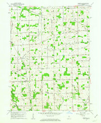
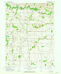
Other maps of this area

1953 · Chicago
USGS Topo · 1:250,000

1953 · Danville
USGS Topo · 1:250,000

1955 · Danville
USGS Topo · 1:250,000

1956 · Danville
USGS Topo · 1:250,000

1957 · Chicago
USGS Topo · 1:250,000
1959 · Mentone
USGS Topo · 1:24,000
1960 · Fulton
USGS Topo · 1:24,000
1960 · Macy
USGS Topo · 1:24,000
1960 · Deedsville
USGS Topo · 1:24,000
1962 · Pershing
USGS Topo · 1:24,000