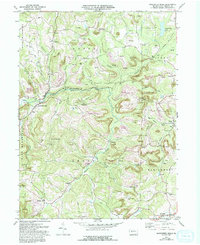
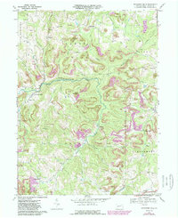
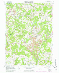
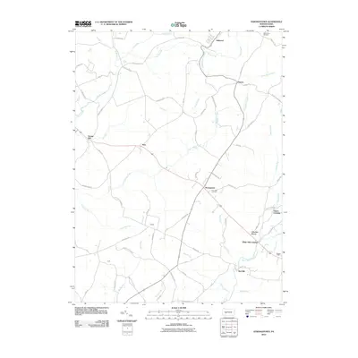
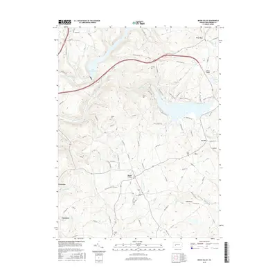
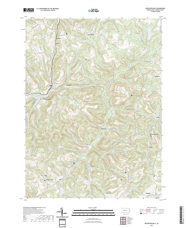
1968 Map of Rochester Mills
USGS Topo · Published 1993About this map
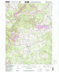
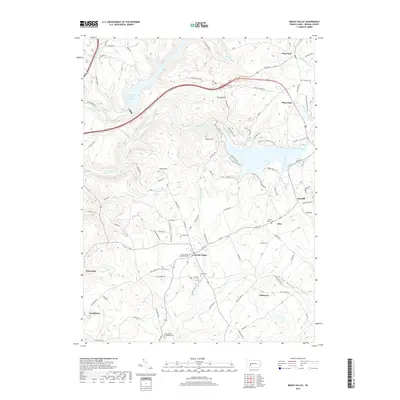
Little Mahoning Creek and its complex network of tributaries, including Salsgiver Run and Beech Run, define the rolling landscape of this Indiana County region. By the late 1960s, the terrain shows the heavy influence of the local extraction economy, with numerous Strip Mine operations and gas wells scattered across the hillsides near Gipsy and Nashville. Cultural life is anchored by a high density of country churches and schools, such as the Canoe-Grant Sch and Pine Ch, providing vital reference points for genealogists tracing family roots in the townships of Canoe, Banks, and Montgomery. The map illustrates a transitional period where traditional agriculture and rural settlements like Rochester Mills exist alongside expanding industrial land uses, further evidenced by the extensive State Game Lands No 262 in the southern portion of the quadrangle.
Find a feature on this map
50 named features on this map. Tap any name to fly to it.
Don’t see what you’re looking for? This feature index may not catch every label — zoom into the map to look around manually.
Map Details
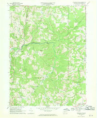
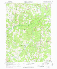
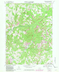
Editions of this 1968 Rochester Mills Map
5 editions found
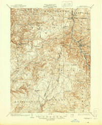
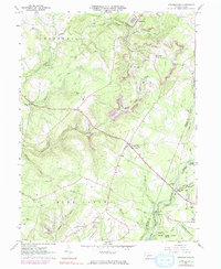
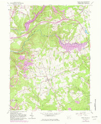
Historical Maps of Banks Township Through Time
27 maps found

1902 Barnesboro
Indiana County, PA
1904 Barnesboro
Indiana County, PA
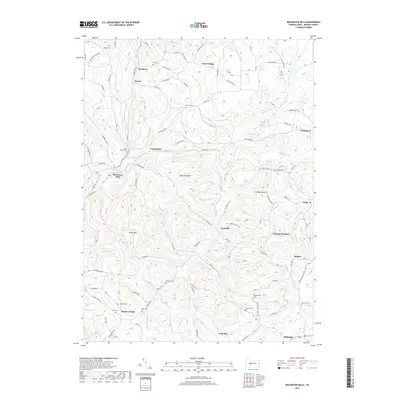
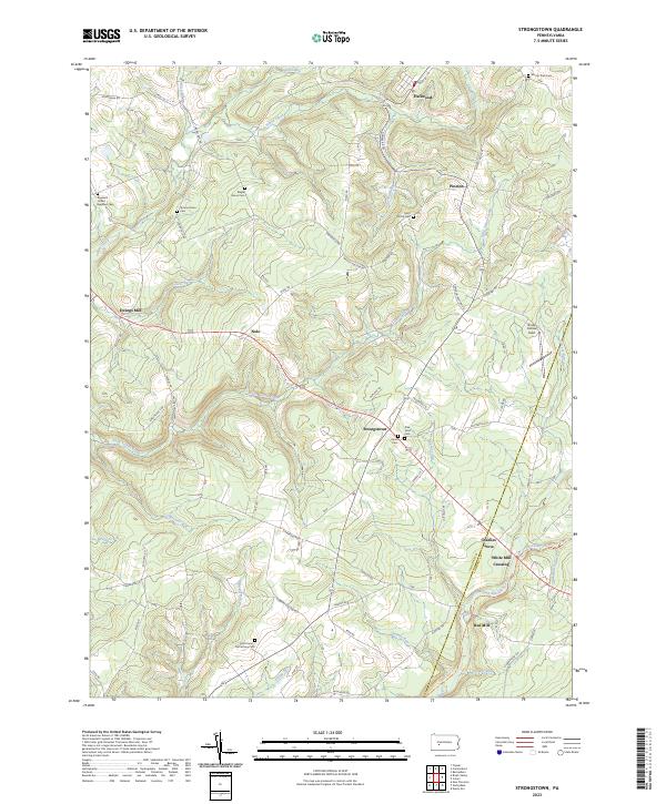
1961 Strongstown
Indiana County, PA
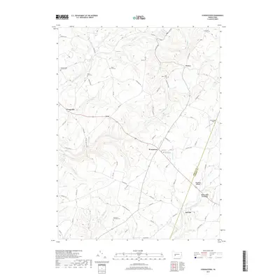
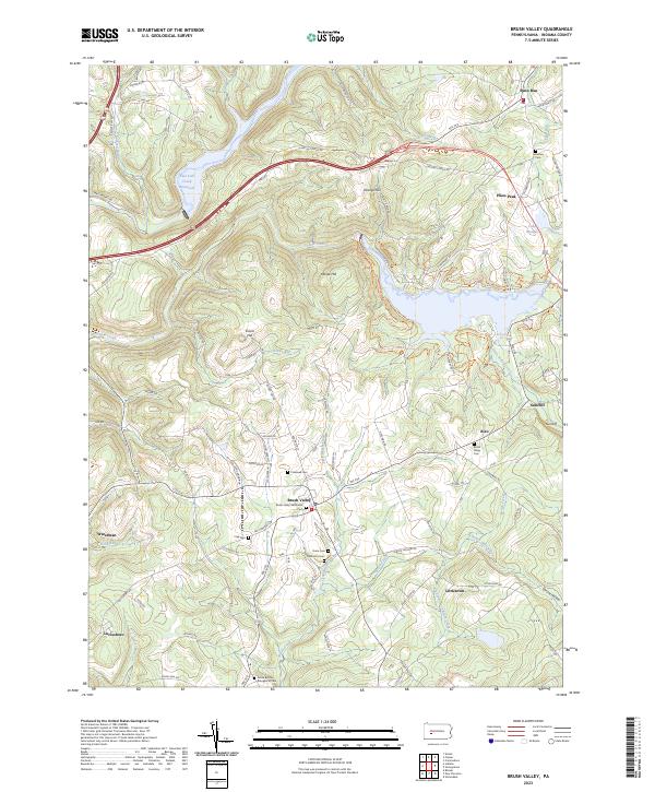
1963 Brush Valley
Indiana County, PA
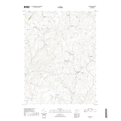
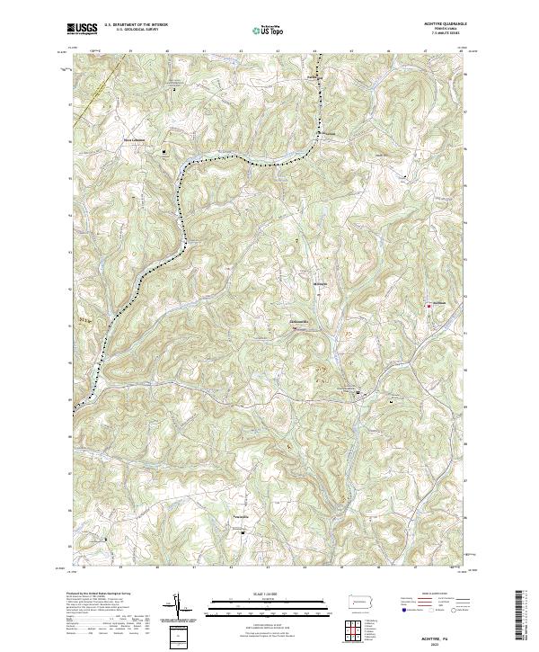
1964 Mc Intyre
Indiana County, PA
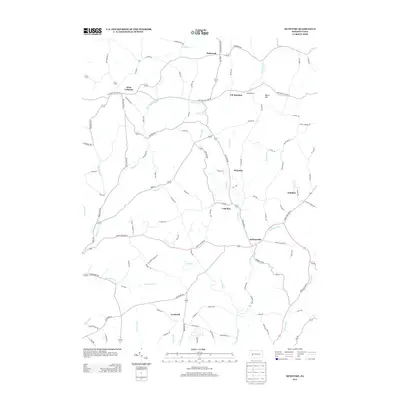
1968 Rochester Mills
Indiana County, PA
1998 Brush Valley
Indiana County, PA

2010 Brush Valley
Indiana County, PA
2010 McIntyre
Indiana County, PA
2010 Rochester Mills
Indiana County, PA
2010 Strongstown
Indiana County, PA

2013 Brush Valley
Indiana County, PA
2013 McIntyre
Indiana County, PA
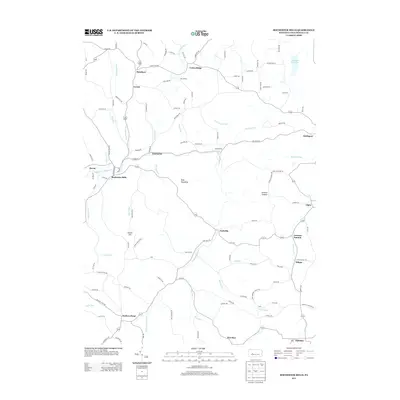
2013 Rochester Mills
Indiana County, PA
2013 Strongstown
Indiana County, PA
2016 Brush Valley
Indiana County, PA
2016 McIntyre
Indiana County, PA
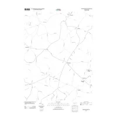
2016 Rochester Mills
Indiana County, PA
2016 Strongstown
Indiana County, PA
2019 Brush Valley
Indiana County, PA
2019 McIntyre
Indiana County, PA
2019 Rochester Mills
Indiana County, PA
2019 Strongstown
Indiana County, PA
2023 Brush Valley
Indiana County, PA
2023 McIntyre
Indiana County, PA
2023 Rochester Mills
Indiana County, PA
2023 Strongstown
Indiana County, PA
Featured Locations
- Banks Township, PA
- North Mahoning Township, PA
- Gorman Summit, Montgomery Township
- Wilgus, Montgomery Township
- Nashville, Grant Township