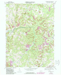
1968 Map of Rochester Mills
USGS Topo · Published 1989About this map
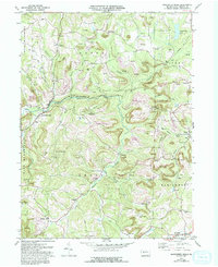
Little Mahoning Creek and its many tributaries, including Broadhead Run, Brewer Run, and Salsgiver Run, carve through this central Pennsylvania landscape during a period of significant surface mining activity. Numerous strip mines and extensive reclaimed sites mark the terrain, particularly around the northern bounds of Canoe and Banks townships. The map documents a dense network of rural infrastructure, featuring landmarks like the Canoe-Grant School, Fairview Church, and Antioch Church. Small settlements and post offices such as Rochester Mills, Savan, Gipsy, and Hillsdale are connected by winding valley roads. A segment of the Baltimore and Ohio railroad corridor traces the western edge of the quadrangle, while the expansive State Game Lands No 262 occupies the southern reaches of Grant township, preserving a large swath of undeveloped woodland.
Find a feature on this map
47 named features on this map. Tap any name to fly to it.
Don’t see what you’re looking for? This feature index may not catch every label — zoom into the map to look around manually.
Map Details
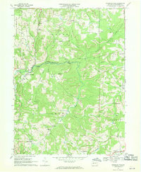
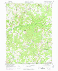
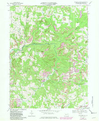
Editions of this 1968 Rochester Mills Map
5 editions found
Other maps of this area

1902 · Indiana
USGS Topo · 1:62,500

1902 · Barnesboro
USGS Topo · 1:62,500

1904 · Barnesboro
USGS Topo · 1:62,500

1906 · Punxsutawney
USGS Topo · 1:62,500

1909 · Smicksburg
USGS Topo · 1:62,500

1938 · Smicksburg
USGS Topo · 1:62,500

1939 · Smicksburg
USGS Topo · 1:62,500

1939 · Punxsutawney
USGS Topo · 1:62,500

1942 · Punxsutawney
USGS Topo · 1:62,500

1943 · Punxsutawney
USGS Topo · 1:125,000
Featured Places
- Banks Township, PA
- North Mahoning Township, PA
- Nashville, Grant Township
- Gorman Summit, Montgomery Township
- Wilgus, Montgomery Township