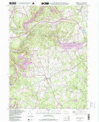
1964 Map of Mc Intyre
USGS Topo · Published 1982About this map
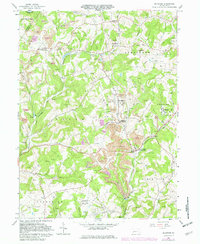
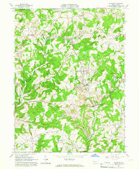
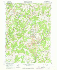
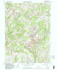
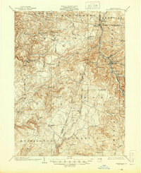
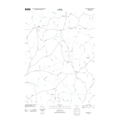
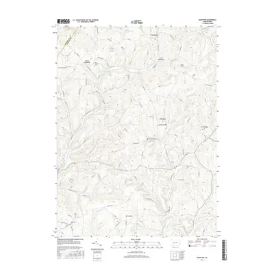
Extensive bituminous coal mining operations dominate this mid-century landscape in Indiana County, where strip mines and reclaimed strip mines terrace the hills between Mc Intyre and Coal Run (Clune PO). The industrial character of the era is underscored by the gas field and numerous gas wells that dot the terrain alongside the Baltimore and Ohio Railroad. Traditional rural life persists in the small settlements of West Lebanon and Jacksonville (Kent PO), each serving as focal points for local families. Genealogists will find several burial grounds, including Mc Intire Cem and West Lebanon Cem, while several country churches like West Union Ch and St Anthonys Ch mark the community centers. The geography is defined by deep runs, such as Aultmans Run and Blacklegs Creek, which carve through the plateau as it descends toward Lewisville.
Find a feature on this map
45 named features on this map. Tap any name to fly to it.
Don’t see what you’re looking for? This feature index may not catch every label — zoom into the map to look around manually.
Map Details
Editions of this 1964 Mc Intyre Map
4 editions found
Historical Maps of Black Lick Township Through Time
27 maps found

1902 Barnesboro
Indiana County, PA
1904 Barnesboro
Indiana County, PA
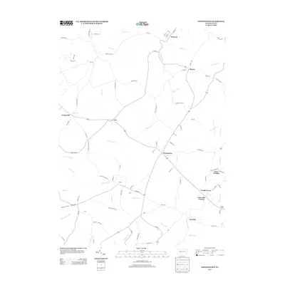
1961 Strongstown
Indiana County, PA
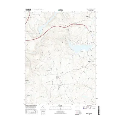
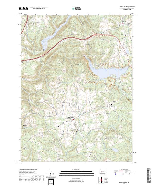
1963 Brush Valley
Indiana County, PA
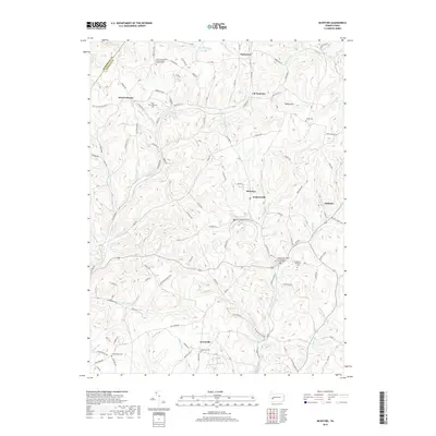
1964 Mc Intyre
Indiana County, PA
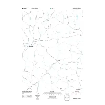
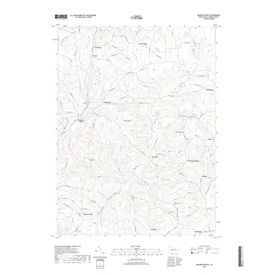
1968 Rochester Mills
Indiana County, PA
1998 Brush Valley
Indiana County, PA

2010 Brush Valley
Indiana County, PA
2010 McIntyre
Indiana County, PA
2010 Rochester Mills
Indiana County, PA
2010 Strongstown
Indiana County, PA

2013 Brush Valley
Indiana County, PA
2013 McIntyre
Indiana County, PA
2013 Rochester Mills
Indiana County, PA
2013 Strongstown
Indiana County, PA
2016 Brush Valley
Indiana County, PA
2016 McIntyre
Indiana County, PA
2016 Rochester Mills
Indiana County, PA
2016 Strongstown
Indiana County, PA
2019 Brush Valley
Indiana County, PA
2019 McIntyre
Indiana County, PA
2019 Rochester Mills
Indiana County, PA
2019 Strongstown
Indiana County, PA
2023 Brush Valley
Indiana County, PA
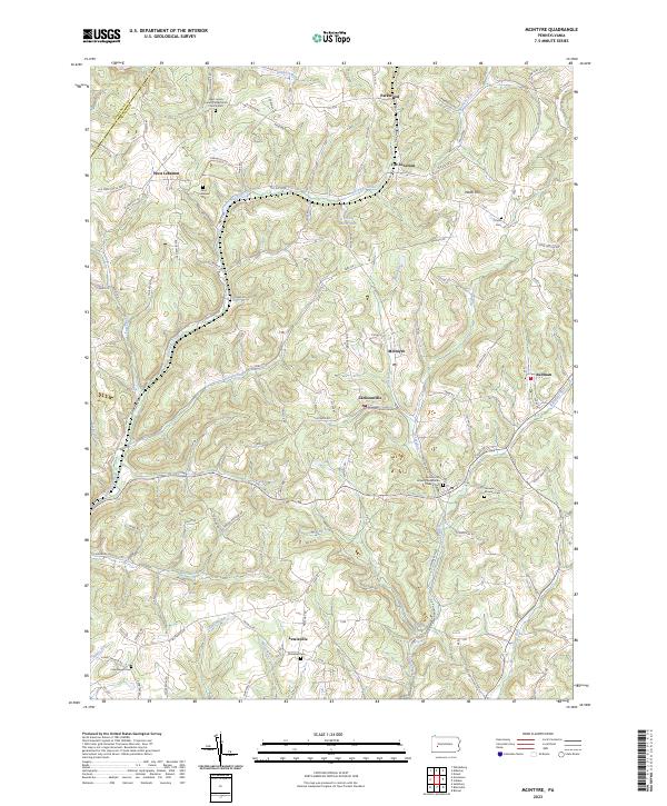
2023 McIntyre
Indiana County, PA
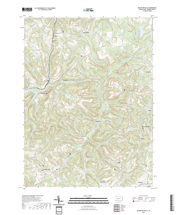
2023 Rochester Mills
Indiana County, PA
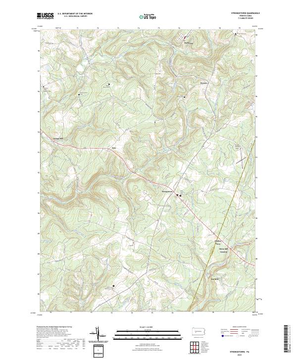
2023 Strongstown
Indiana County, PA
Featured Locations
- Young Township, PA
- Black Lick Township, PA
- Conemaugh Township, PA
- South Bend Township, PA
- Jacksonville, Black Lick Township