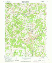
1964 Map of Mc Intyre
USGS Topo · Published 1974About this map
The extractive industrial landscape of Indiana and Armstrong counties defines this mid-century survey, where the Baltimore and Ohio railroad corridor serves as the backbone for numerous operations. Extensive Strip Mine and Strip Mines dominate the topography, particularly surrounding the company towns of Mc Intyre and Coal Run (Clune PO). This area is a dense network of mining infrastructure, featuring mine dumps, air shafts, and gas wells that sit alongside established rural communities.
Find a feature on this map
41 named features on this map. Tap any name to fly to it.
Don’t see what you’re looking for? This feature index may not catch every label — zoom into the map to look around manually.
Map Details
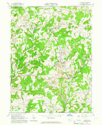
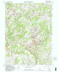
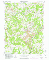
Editions of this 1964 Mc Intyre Map
4 editions found
Other maps of this area

1900 · Latrobe
USGS Topo · 1:62,500

1902 · Latrobe
USGS Topo · 1:62,500

1902 · Indiana
USGS Topo · 1:62,500

1902 · Elders Ridge
USGS Topo · 1:62,500

1903 · Latrobe
USGS Topo · 1:62,500

1904 · Elders Ridge
USGS Topo · 1:62,500

1920 · New Florence
USGS Topo · 1:62,500

1921 · New Florence
USGS Topo · 1:48,000

1922 · New Florence
USGS Topo · 1:62,500

1944 · New Florence
USGS Topo · 1:62,500
Featured Places
- Black Lick Township, PA
- South Bend Township, PA
- Young Township, PA
- Jacksonville, Black Lick Township
- Conemaugh Township, PA