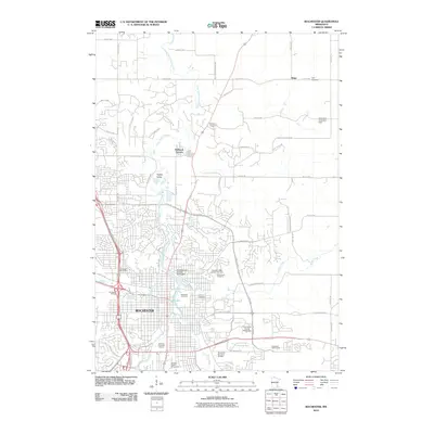
2010 Map of Rochester
USGS Topo · Published 2010About this map
The South Fork Zumbro River and Silver Lake anchor the landscape of Rochester in this 2010 topographic record. This era shows the city's significant expansion into the surrounding hills, with residential developments like Hadley Valley and Hallmark Terrace pushing northward. The map is particularly detailed regarding institutional and community landmarks, documenting the University Center Rochester and the Olmsted County Fairgrounds.
Find a feature on this map
60 named features on this map. Tap any name to fly to it.
Don’t see what you’re looking for? This feature index may not catch every label — zoom into the map to look around manually.
Map Details
Editions of this 2010 Rochester Map
This is the sole edition of this map. No revisions or reprints were ever made.
Other maps of this area

1935 · Rochester
USGS Topo · 1:48,000

1939 · Rochester
USGS Topo · 1:62,500

1953 · Saint Paul
USGS Topo · 1:250,000

1954 · Mason City
USGS Topo · 1:250,000

1955 · Stewartville
USGS Topo · 1:62,500

1955 · High Forest
USGS Topo · 1:62,500

1957 · Mason City
USGS Topo · 1:250,000

1958 · Mason City
USGS Topo · 1:250,000

1959 · Saint Paul
USGS Topo · 1:250,000

1965 · Oronoco
USGS Topo · 1:24,000