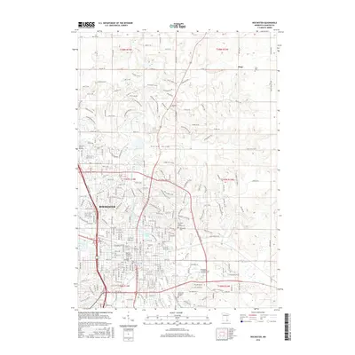
2016 Map of Rochester
USGS Topo · Published 2016About this map
Rochester is shown here as a dense urban center defined by its world-renowned medical institutions and its position along the South Fork Zumbro River. The map highlights the significant footprint of the Mayo Medical Sch, Mayo Graduate Sch, and Mayo Sch of Health Sciences, reflecting the city's role as a major healthcare hub. The residential expansion of the city is evident as it pushes into the surrounding Hadley Valley and toward the northern settlement of Ringe.
Find a feature on this map
174 named features on this map. Tap any name to fly to it.
Don’t see what you’re looking for? This feature index may not catch every label — zoom into the map to look around manually.
Map Details
Editions of this 2016 Rochester Map
This is the sole edition of this map. No revisions or reprints were ever made.
Other maps of this area

1935 · Rochester
USGS Topo · 1:48,000

1939 · Rochester
USGS Topo · 1:62,500

1953 · Saint Paul
USGS Topo · 1:250,000

1954 · Mason City
USGS Topo · 1:250,000

1955 · Stewartville
USGS Topo · 1:62,500

1955 · High Forest
USGS Topo · 1:62,500

1957 · Mason City
USGS Topo · 1:250,000

1958 · Mason City
USGS Topo · 1:250,000

1959 · Saint Paul
USGS Topo · 1:250,000

1965 · Oronoco
USGS Topo · 1:24,000