Loading...
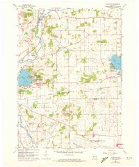
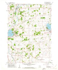
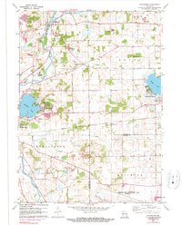
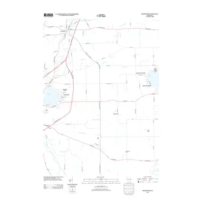
Loading map...1960 Map of Rochester
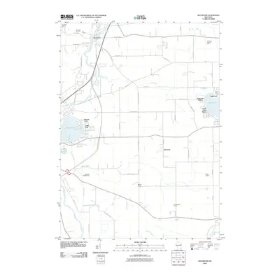
USGS Topo · Published 1972About this map
The Fox River meanders through the village of Rochester, where local landmarks like the Rochester Cem and the St Francis Monastery anchor the community's mid-century landscape. To the east, the area is defined by the recreation-centered developments of Eagle Lake Manor on Eagle Lake and Cedar Park on Browns Lake. The rural character of the era is evident in the network of country schools, including English Settlement Sch and Duckett Sch, alongside agricultural operations marked by numerous Gravel Pits.
Find a feature on this map
32 named features on this map. Tap any name to fly to it.
Don’t see what you’re looking for? This feature index may not catch every label — zoom into the map to look around manually.
Map Details
Date Portrayed1960
Date Published1972
PublisherU.S. Geological Survey
Map TypeTopographic
Scale1:24,000
Physical Dimensions22.72 x 27.42 inches
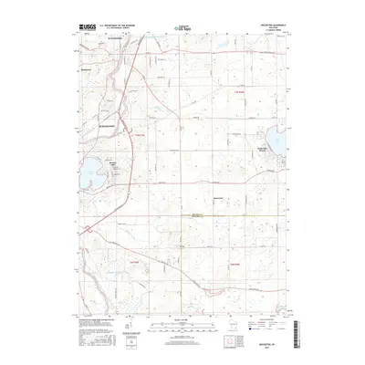
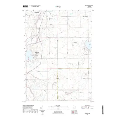
Editions of this 1960 Rochester Map
3 editions found
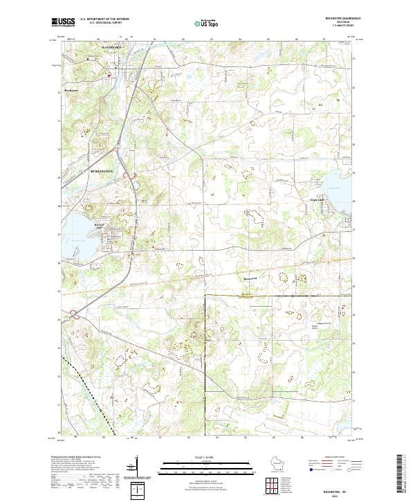
Historical Maps of Burlington Through Time
6 maps found
Featured Locations
Source Details
SourceU.S. Geological Survey
CopyrightPublic Domain