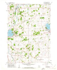
1960 Map of Rochester
USGS Topo · Published 1962About this map
The Fox River meanders through this portion of Racine County, anchoring a landscape defined by its transition from agricultural wetlands to lakeside residential developments. The village of Rochester sits at the northern confluence, where the Wind Lake Drainage Canal meets the river near the Rochester Cem. To the south and east, the map reveals a mid-century rural school system featuring the English Settlement Sch and Sunnyside Sch.
Find a feature on this map
36 named features on this map. Tap any name to fly to it.
Don’t see what you’re looking for? This feature index may not catch every label — zoom into the map to look around manually.
Map Details
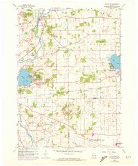
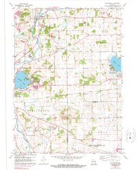
Editions of this 1960 Rochester Map
3 editions found
Other maps of this area

1891 · Muskego
USGS Topo · 1:62,500

1892 · Eagle
USGS Topo · 1:62,500

1893 · Silver Lake
USGS Topo · 1:62,500

1893 · Geneva
USGS Topo · 1:62,500

1894 · Eagle
USGS Topo · 1:62,500

1897 · Eagle
USGS Topo · 1:62,500

1901 · Muskego
USGS Topo · 1:62,500

1904 · Lake Geneva
USGS Topo · 1:62,500

1906 · Eagle
USGS Topo · 1:62,500

1906 · Silver Lake
USGS Topo · 1:62,500