Loading...
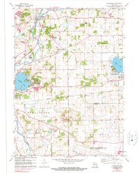
Loading map...1960 Map of Rochester
USGS Topo · Published 1990About this map
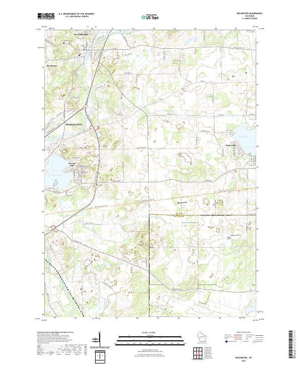
The Fox River meanders through this agricultural landscape, anchoring the village of Rochester and its surroundings during the mid-20th century. The map reveals a transition in land use, from the traditional rural schoolhouses like English Settlement Sch and Sunnyside Sch to the recreational development emerging around Eagle Lake and Browns Lake. The presence of the St Francis Monastery and the Rochester Cem provides specific points of interest for genealogists tracing local families.
Find a feature on this map
32 named features on this map. Tap any name to fly to it.
Don’t see what you’re looking for? This feature index may not catch every label — zoom into the map to look around manually.
Map Details
Date Portrayed1960
Date Published1990
PublisherU.S. Geological Survey
Map TypeTopographic
Scale1:24,000
Physical Dimensions21.61 x 26.82 inches
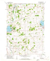
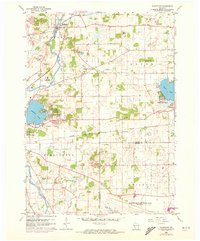
Editions of this 1960 Rochester Map
3 editions found
Historical Maps of Burlington Through Time
6 maps found
Featured Locations
Source Details
SourceU.S. Geological Survey
CopyrightPublic Domain