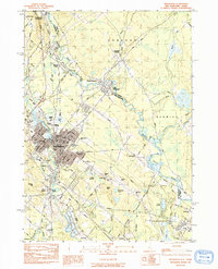
1983 Map of Rochester
USGS Topo · Published 1984About this map
Rochester serves as the industrial and civic heart of this area along the Maine-New Hampshire border, where the Cocheco River and the Salmon Falls River define the local geography. The landscape is marked by its diverse institutional presence, from the Frisbie Mem Hosp and several parochial sites like Cimetiere Du St Rosaire to the regional accessibility provided by Skyhaven Airport. Dense settlement patterns in East Rochester and Gonic contrast with the natural expanses of Heath Bog and Gate Swamp.
Find a feature on this map
72 named features on this map. Tap any name to fly to it.
Don’t see what you’re looking for? This feature index may not catch every label — zoom into the map to look around manually.
Map Details
Editions of this 1983 Rochester Map
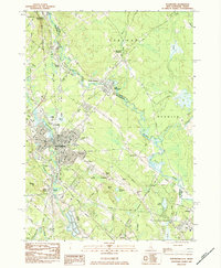
2 editions found
Other maps of this area

1891 · Berwick
USGS Topo · 1:62,500

1893 · Dover
USGS Topo · 1:62,500

1893 · Berwick
USGS Topo · 1:62,500

1916 · Dover
USGS Topo · 1:62,500

1917 · Mt. Pawtuckaway
USGS Topo · 1:62,500

1918 · Dover
USGS Topo · 1:62,500

1919 · Mt. Pawtuckaway
USGS Topo · 1:62,500

1919 · Alton
USGS Topo · 1:62,500

1933 · Berwick
USGS Topo · 1:48,000

1937 · Berwick
USGS Topo · 1:62,500