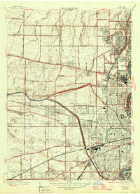
1935 Map of Rochester West
USGS Topo · Published 1946About this map
The Genesee River and the Erie Barge Canal define the industrial and transit corridor of this Rochester region in the 1930s. Large-scale institutional and industrial footprints are evident along the riverbank, most notably the sprawling Kodak Park complex and the extensive grounds of Holy Sepulchre Cemetery. The map captures a moment when the city's western expansion was actively reshaping the former farmland of Greece and Gates.
Find a feature on this map
67 named features on this map. Tap any name to fly to it.
Don’t see what you’re looking for? This feature index may not catch every label — zoom into the map to look around manually.
Map Details
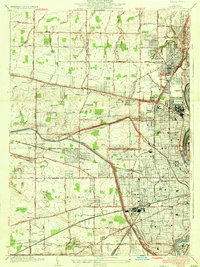
Editions of this 1935 Rochester West Map
2 editions found
Other maps of this area

1895 · Rochester
USGS Topo · 1:62,500

1895 · Ontario Beach
USGS Topo · 1:62,500

1898 · Rochester
USGS Topo · 1:62,500

1899 · Hamlin
USGS Topo · 1:62,500

1899 · Ontario Beach
USGS Topo · 1:62,500

1899 · Brockport
USGS Topo · 1:62,500

1912 · Rochester
USGS Topo · 1:62,500

1912 · Ontario Beach
USGS Topo · 1:62,500

1920 · Rochester
USGS Topo · 1:62,500

1931 · Mendon Ponds
USGS Topo · 1:24,000