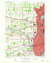
1952 Map of Rochester West
USGS Topo · Published 1964About this map
Kodak Park and the industrial corridors of northwestern Rochester anchor this early 1950s survey, showing a landscape transitioning from agricultural townships to suburban neighborhoods. In the west, the townships of Greece and Gates maintain a grid of orchard-lined roads like Peck Road and Maiden Lane, while institutional campuses like St Bernards Seminary, Nazareth Convent, and Aquinas Institute concentrate near the city line.
Find a feature on this map
72 named features on this map. Tap any name to fly to it.
Don’t see what you’re looking for? This feature index may not catch every label — zoom into the map to look around manually.
Map Details
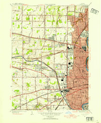
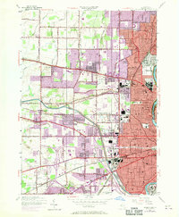
Editions of this 1952 Rochester West Map
3 editions found
Other maps of this area

1895 · Rochester
USGS Topo · 1:62,500

1895 · Ontario Beach
USGS Topo · 1:62,500

1898 · Rochester
USGS Topo · 1:62,500

1899 · Hamlin
USGS Topo · 1:62,500

1899 · Ontario Beach
USGS Topo · 1:62,500

1899 · Brockport
USGS Topo · 1:62,500

1912 · Rochester
USGS Topo · 1:62,500

1912 · Ontario Beach
USGS Topo · 1:62,500

1920 · Rochester
USGS Topo · 1:62,500

1931 · Mendon Ponds
USGS Topo · 1:24,000