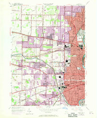
1952 Map of Rochester West
USGS Topo · Published 1970About this map
The western suburbs of Rochester and the towns of Greece and Gates undergo a period of rapid post-war expansion on this sheet, which incorporates 1952 revisions and 1969 aerial updates. The industrial dominance of Kodak Park stands out along the Genesee River, while the Erie Canal cuts through the center of the quadrangle near North Gates. The map highlights a significant concentration of religious and educational institutions, including St Bernards Seminary, St Andrews Seminary, and the Nazareth Convent.
Find a feature on this map
63 named features on this map. Tap any name to fly to it.
Don’t see what you’re looking for? This feature index may not catch every label — zoom into the map to look around manually.
Map Details
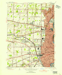
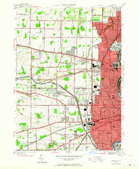
Editions of this 1952 Rochester West Map
3 editions found
Other maps of this area

1895 · Rochester
USGS Topo · 1:62,500

1895 · Ontario Beach
USGS Topo · 1:62,500

1898 · Rochester
USGS Topo · 1:62,500

1899 · Hamlin
USGS Topo · 1:62,500

1899 · Ontario Beach
USGS Topo · 1:62,500

1899 · Brockport
USGS Topo · 1:62,500

1912 · Rochester
USGS Topo · 1:62,500

1912 · Ontario Beach
USGS Topo · 1:62,500

1920 · Rochester
USGS Topo · 1:62,500

1931 · Mendon Ponds
USGS Topo · 1:24,000